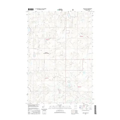
2015 Map of Long Lake SE
USGS Topo · Published 2015About this map
Nicolet National Forest encompasses this section of Florence County, defining a landscape of glacial lakes and winding waterways. The northern reach is marked by the Pine River and the Fay Lake Outlet, while the southern portion is drained by the Popple River and its South Branch. This 2015 survey reveals a network of forest roads, such as Tie Mill Rd and Halsey Lake Rd, providing access to numerous small water bodies including Grub Hoe Lake, Grandma Lake, and Lake Seventeen. The drainage patterns of Woods Cr and Morgan Cr underscore the complex hydrology of this wooded region, which remains largely characterized by natural features and logging access routes rather than dense residential development.
Find a feature on this map
33 named features on this map. Tap any name to fly to it.
Don’t see what you’re looking for? This feature index may not catch every label — zoom into the map to look around manually.
Map Details
Editions of this 2015 Long Lake SE Map
This is the sole edition of this map. No revisions or reprints were ever made.
Other maps of this area

1939 · Goodman
USGS Topo · 1:48,000

1939 · Laona
USGS Topo · 1:48,000

1939 · Long Lake
USGS Topo · 1:48,000

1941 · Florence
USGS Topo · 1:48,000

1946 · Laona
USGS Topo · 1:48,000

1946 · Goodman
USGS Topo · 1:48,000

1947 · Naults
USGS Topo · 1:24,000

1948 · Long Lake
USGS Topo · 1:48,000

1954 · Iron Mountain
USGS Topo · 1:250,000

1959 · Iron Mountain
USGS Topo · 1:250,000