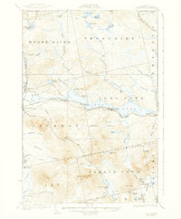
1924 Map of Long Pond
USGS Topo · Published 1938About this map
Canadian Pacific rails define the industrial and transit corridor of this Somerset County landscape, skirting the southern banks of the Moose River and the elongated waters of Long Pond. Surveyed in 1922, the map shows a logging and sporting economy in transition, where remote outposts like Churchill Camp and Heald Pond Camp sit alongside the established infrastructure of Jackman Station and Jackman Mill. The terrain is marked by family-named agricultural holdings such as Whipple Farm and Pogg Farm, which represent pockets of settlement amid the ridges of Catheart Mtn and Bean Brook Mtn. The hydrology is complex, with the lake narrowed at the Upper Narrows and Lower Narrows, while the Alder Brook Trail and various woods roads provide the only overland access into the surrounding townships like Soldier Town and Thorndike.
Find a feature on this map
75 named features on this map. Tap any name to fly to it.
Don’t see what you’re looking for? This feature index may not catch every label — zoom into the map to look around manually.
Map Details
Editions of this 1924 Long Pond Map
5 editions found
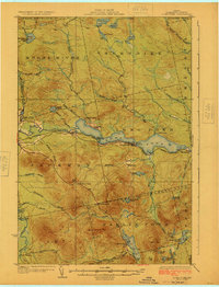
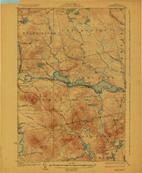
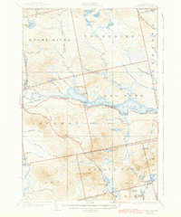
Other maps of this area

1905 · The Forks
USGS Topo · 1:62,500

1907 · The Forks
USGS Topo · 1:62,500

1921 · Brassua Lake
USGS Topo · 1:62,500

1922 · Long Pond
USGS Topo · 1:62,500

1923 · Brassua Lake
USGS Topo · 1:62,500

1923 · Attean
USGS Topo · 1:62,500

1924 · Long Pond
USGS Topo · 1:62,500

1925 · Pierce Pond
USGS Topo · 1:48,000

1925 · Attean
USGS Topo · 1:62,500

1927 · Sandy Bay
USGS Topo · 1:48,000