
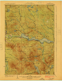
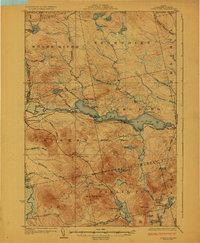
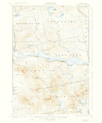
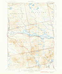
1924 Map of Long Pond
USGS Topo · Published 1924About this map
Moose River winds through this timber and rail corridor, anchored by the industrial and transport hub at Jackman Station. Surveyed just before the mid-1920s, the landscape reveals a transition from raw wilderness to a managed resource economy, where the Canadian Pacific railroad tracks hug the northern shore of Long Pond. Along this vital rail link, small outposts like Blair and Mackamp served as critical stops for local trade and travel.
Find a feature on this map
120 named features on this map. Tap any name to fly to it.
Don’t see what you’re looking for? This feature index may not catch every label — zoom into the map to look around manually.
Map Details
Editions of this 1924 Long Pond Map
5 editions found
Other maps of this area

1905 · The Forks
USGS Topo · 1:62,500

1907 · The Forks
USGS Topo · 1:62,500

1921 · Brassua Lake
USGS Topo · 1:62,500

1922 · Long Pond
USGS Topo · 1:62,500

1923 · Brassua Lake
USGS Topo · 1:62,500

1923 · Attean
USGS Topo · 1:62,500

1925 · Pierce Pond
USGS Topo · 1:48,000

1925 · Attean
USGS Topo · 1:62,500

1927 · Sandy Bay
USGS Topo · 1:48,000

1927 · Pierce Pond
USGS Topo · 1:62,500