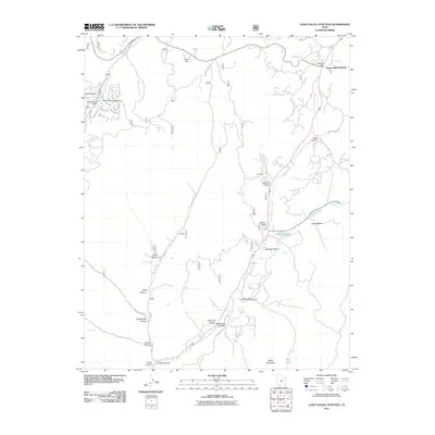
2011 Map of Long Valley Junction
USGS Topo · Published 2011About this map
Long Valley Junction serves as the primary crossroads in this high-altitude landscape where the East Fork Virgin River begins its southward course through a network of deep drainages. The area is defined by its topographic complexity, featuring numerous named canyons such as Shingle Mill Canyon, Dairy Canyon, and Stout Canyon that draw toward the river valley. To the northwest, Harris Flat and the development at Swains Creek Airport suggest a transition from wilderness to recreational and residential use in the early 21st century.
Find a feature on this map
35 named features on this map. Tap any name to fly to it.
Don’t see what you’re looking for? This feature index may not catch every label — zoom into the map to look around manually.
Map Details
Editions of this 2011 Long Valley Junction Map
This is the sole edition of this map. No revisions or reprints were ever made.
Other maps of this area

1886 · Kanab
USGS Topo · 1:250,000

1953 · Cedar City
USGS Topo · 1:250,000

1958 · Cedar City
USGS Topo · 1:250,000

1958 · Orderville
USGS Topo · 1:62,500

1958 · Panguitch Lake
USGS Topo · 1:62,500

1962 · Cedar City
USGS Topo · 1:250,000

1966 · Alton
USGS Topo · 1:24,000

1966 · Bald Knoll
USGS Topo · 1:24,000

1966 · George Mtn
USGS Topo · 1:24,000

1980 · Panguitch
USGS Topo · 1:100,000