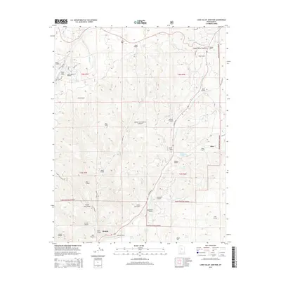
2014 Map of Long Valley Junction
USGS Topo · Published 2014About this map
Long Valley Junction serves as a critical point in this high-altitude landscape where US Hwy 89 Scn winds through the southern Utah mountains. The map illustrates a transitional geography, moving from the dramatic heights of the Pink Cliffs toward the agricultural and residential pockets of Alton and Glendale. The drainage of the E Fork Virgin River organizes the local topography, fed by numerous seasonal drainages such as Stout Canyon and Johnson Canyon.
Find a feature on this map
56 named features on this map. Tap any name to fly to it.
Don’t see what you’re looking for? This feature index may not catch every label — zoom into the map to look around manually.
Map Details
Editions of this 2014 Long Valley Junction Map
This is the sole edition of this map. No revisions or reprints were ever made.
Other maps of this area

1886 · Kanab
USGS Topo · 1:250,000

1953 · Cedar City
USGS Topo · 1:250,000

1958 · Cedar City
USGS Topo · 1:250,000

1958 · Orderville
USGS Topo · 1:62,500

1958 · Panguitch Lake
USGS Topo · 1:62,500

1962 · Cedar City
USGS Topo · 1:250,000

1966 · Alton
USGS Topo · 1:24,000

1966 · Bald Knoll
USGS Topo · 1:24,000

1966 · George Mtn
USGS Topo · 1:24,000

1980 · Panguitch
USGS Topo · 1:100,000