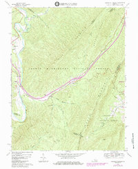
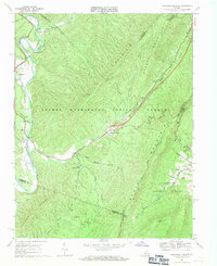
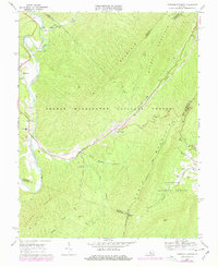
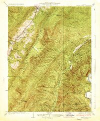
1969 Map of Longdale Furnace
USGS Topo · Published 1984About this map
Cowpasture River and its sharp bends define the western valley of this landscape, where the Chesapeake and Ohio railroad follows the water's edge through Colemans Tunnel. The terrain is dominated by the parallel ridges of Mill Mountain, Brushy Mountain, and North Mountain, which contain portions of the George Washington National Forest. Small settlements such as Nicelytown, Griffith, and Pads are scattered near the river, while the namesake Longdale Furnace sits further east along Simpson Creek. The presence of several country houses of worship, including Lone Star Ch and Sharon Ch, suggests the location of rural community centers during this era of the late sixties. Tracing the numerous creek branches like Suck Run and Hayslette Creek reveals the complex drainage patterns typical of this mountainous region of Virginia.
Find a feature on this map
41 named features on this map. Tap any name to fly to it.
Don’t see what you’re looking for? This feature index may not catch every label — zoom into the map to look around manually.
Map Details
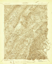
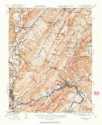
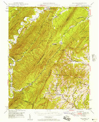
Editions of this 1969 Longdale Furnace Map
Other maps of this area

1894 · Natural Bridge
USGS Topo · 1:125,000

1894 · Natural Bridge
USGS Topo · 1:62,500

1907 · Natural Bridge Special
USGS Topo · 1:62,500

1913 · Eagle Rock
USGS Topo · 1:48,000

1915 · Eagle Rock
USGS Topo · 1:62,500
1931 · Healing Springs
USGS Topo · 1:24,000
1933 · Healing Springs
USGS Topo · 1:31,680
1945 · Clifton Forge
USGS Topo · 1:62,500
1946 · Millboro
USGS Topo · 1:62,500

1947 · Roanoke
USGS Topo · 1:250,000