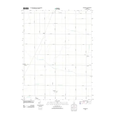
2012 Map of Longview
USGS Topo · Published 2012About this map
Longview and the surrounding prairie of southern Champaign County are defined by a grid of county roads and a drainage system that feeds both the Wabash and Embarras basins. In this agricultural landscape, small communities like Bongard, Fairland, and Block serve as local anchors. The map reveals the intricate water management required in this flat terrain, tracing the E Br Embarras River as it winds westward and the Little Vermilion River flowing toward the northeast. Cultural landmarks such as Saint Paul Church and cemeteries like Immaculate Conception Cem and Saint John Cem provide important reference points for genealogists tracing family roots in these rural townships. Aviation history is noted by the presence of Justus Airport in the northern reaches, while the transition between natural waterways and engineered channels is visible in features like the Little Vermilion Ditch and Long Point Slough.
Find a feature on this map
27 named features on this map. Tap any name to fly to it.
Don’t see what you’re looking for? This feature index may not catch every label — zoom into the map to look around manually.
Map Details
Editions of this 2012 Longview Map
This is the sole edition of this map. No revisions or reprints were ever made.
Other maps of this area

1906 · Urbana
USGS Topo · 1:62,500

1931 · Fithian
USGS Topo · 1:48,000

1943 · Fithian
USGS Topo · 1:62,500

1953 · Danville
USGS Topo · 1:250,000

1953 · Indianapolis
USGS Topo · 1:250,000

1955 · Danville
USGS Topo · 1:250,000

1956 · Danville
USGS Topo · 1:250,000

1956 · Indianapolis
USGS Topo · 1:250,000

1956 · Newman
USGS Topo · 1:62,500

1956 · Villa Grove
USGS Topo · 1:62,500