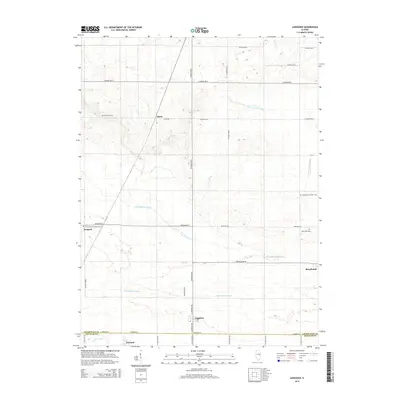
2015 Map of Longview
USGS Topo · Published 2015About this map
Broadlands and Longview anchor this Illinois landscape where the agricultural grid meets the headwaters of several significant drainage systems. The survey area straddles the Champaign and Douglas County line, documenting a transition between the Little Vermilion River to the northeast and the East Branch Embarras River which winds through the central portion of the sheet. This terrain is defined by its water management, seen in the channelization of the Little Vermilion Ditch and the presence of low-lying wetland features like Long Point Slough and Jordan Slough.
Find a feature on this map
36 named features on this map. Tap any name to fly to it.
Don’t see what you’re looking for? This feature index may not catch every label — zoom into the map to look around manually.
Map Details
Editions of this 2015 Longview Map
This is the sole edition of this map. No revisions or reprints were ever made.
Other maps of this area

1906 · Urbana
USGS Topo · 1:62,500

1931 · Fithian
USGS Topo · 1:48,000

1943 · Fithian
USGS Topo · 1:62,500

1953 · Danville
USGS Topo · 1:250,000

1953 · Indianapolis
USGS Topo · 1:250,000

1955 · Danville
USGS Topo · 1:250,000

1956 · Danville
USGS Topo · 1:250,000

1956 · Indianapolis
USGS Topo · 1:250,000

1956 · Newman
USGS Topo · 1:62,500

1956 · Villa Grove
USGS Topo · 1:62,500