
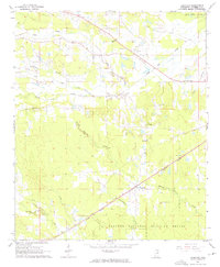
1965 Map of Longview
USGS Topo · Published 1966About this map
Longview and Adaton serve as the primary hubs in this mid-1960s Mississippi landscape, where small rural communities are defined by their proximity to local houses of worship and natural drainage systems. The Illinois Central railroad cuts diagonally through the southern half of the quadrangle, passing through the heart of Longview and providing a vital transport corridor across a terrain dominated by the Noxubee National Wildlife Refuge.
Find a feature on this map
23 named features on this map. Tap any name to fly to it.
Don’t see what you’re looking for? This feature index may not catch every label — zoom into the map to look around manually.
Map Details
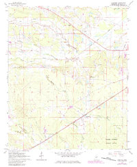
Editions of this 1965 Longview Map
3 editions found
Other maps of this area

1953 · West Point
USGS Topo · 1:250,000

1958 · West Point
USGS Topo · 1:250,000

1959 · Pheba
USGS Topo · 1:62,500

1963 · West Point
USGS Topo · 1:250,000

1965 · Starkville
USGS Topo · 1:24,000

1965 · Bluff Lake
USGS Topo · 1:24,000

1965 · Bradley
USGS Topo · 1:24,000

1972 · Maben
USGS Topo · 1:24,000

1972 · Double Springs
USGS Topo · 1:24,000

1972 · Sturgis
USGS Topo · 1:24,000