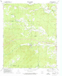
1972 Map of Lonsdale
USGS Topo · Published 1974About this map
Middle Fork Saline River and its various tributaries define this Arkansas landscape along the county lines of Garland, Saline, and Hot Spring. In the early 1970s, the area retained a rural character centered around small communities like Owensville, Crows, and Lonsdale. The landscape is a network of small watercourses, including Tenmile Creek and Tigre Creek, where local life was anchored by institutions such as Rural Dale Sch, Smith Creek Ch, and Tenmile Ch.
Find a feature on this map
25 named features on this map. Tap any name to fly to it.
Don’t see what you’re looking for? This feature index may not catch every label — zoom into the map to look around manually.
Map Details
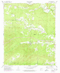
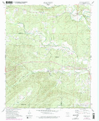
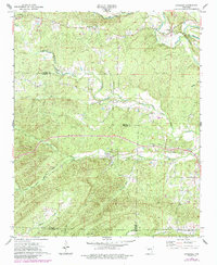
Editions of this 1972 Lonsdale Map
4 editions found
Other maps of this area

1890 · Benton
USGS Topo · 1:125,000

1894 · Benton
USGS Topo · 1:125,000

1938 · Benton
USGS Topo · 1:48,000

1944 · Benton
USGS Topo · 1:62,500

1948 · Malvern
USGS Topo · 1:62,500

1949 · Malvern
USGS Topo · 1:62,500

1955 · Little Rock
USGS Topo · 1:250,000

1956 · Little Rock
USGS Topo · 1:250,000

1960 · Little Rock
USGS Topo · 1:250,000

1963 · Traskwood
USGS Topo · 1:24,000