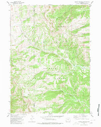
1980 Map of Lookout Mountain
USGS Topo · Published 1980About this map
The Wyoming Range forms the spine of this landscape along the border of Lincoln and Sublette counties, dominated by high peaks and an intricate drainage system. The topography is defined by significant elevations such as Lookout Mountain and Horse Mountain to the north, while McDougal Mountain anchors the southwestern terrain near Gunsight Pass. This 1980 survey shows a wilderness managed by the Teton National Forest and Bridger-Teton National Forest, where movement is dictated by a network of Pack Trails and a few Jeep Trails rather than modern roads.
Find a feature on this map
26 named features on this map. Tap any name to fly to it.
Don’t see what you’re looking for? This feature index may not catch every label — zoom into the map to look around manually.
Map Details
Editions of this 1980 Lookout Mountain Map
2 editions found
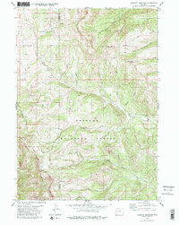
Other maps of this area

1907 · Gros Ventre
USGS Topo · 1:125,000

1910 · Gros Ventre
USGS Topo · 1:125,000

1921 · Afton
USGS Topo · 1:125,000

1931 · Jackson
USGS Topo · 1:125,000

1935 · Jackson
USGS Topo · 1:125,000

1939 · Big Piney
USGS Topo · 1:125,000

1942 · Big Piney
USGS Topo · 1:125,000

1955 · Driggs
USGS Topo · 1:250,000

1955 · Preston
USGS Topo · 1:250,000

1958 · Driggs
USGS Topo · 1:250,000