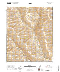
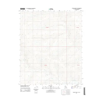
2020 Map of Lookout Ridge C-1 SW
USGS Topo · Published 2020About this map
Titaluk River winds through the southern reaches of this landscape, carving a subtle path across the Arctic terrain of the North Slope. The area is defined primarily by its immense survey divisions, including T3n R19w and T2n R19w, which organize this largely uninhabited expanse. Modern data from the U.S. Geological Survey reveals a surface shaped by gradual elevation changes and drainage patterns that feed into the northern watershed. Unlike more developed regions, the lack of named structures or road networks here highlights the isolation of this corner of Alaska, where the natural course of the river remains the primary landmark for navigation and geographic study.
Find a feature on this map
5 named features on this map. Tap any name to fly to it.
Don’t see what you’re looking for? This feature index may not catch every label — zoom into the map to look around manually.
Map Details
Editions of this 2020 Lookout Ridge C-1 SW Map
This is the sole edition of this map. No revisions or reprints were ever made.
Other maps of this area

1951 · Lookout Ridge
USGS Topo · 1:250,000

1956 · Lookout Ridge
USGS Topo · 1:250,000
1985 · Lookout Ridge B-2
USGS Topo · 1:63,360
1985 · Lookout Ridge C-1
USGS Topo · 1:63,360
1985 · Lookout Ridge B-1
USGS Topo · 1:63,360
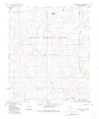
1985 · Lookout Ridge C-2
USGS Topo · 1:63,360
2015 · Lookout Ridge C-1 SE
USGS Topo · 1:25,000
2015 · Lookout Ridge C-2 NE
USGS Topo · 1:25,000
2015 · Lookout Ridge C-1 NE
USGS Topo · 1:25,000
2015 · Lookout Ridge C-2 SE
USGS Topo · 1:25,000