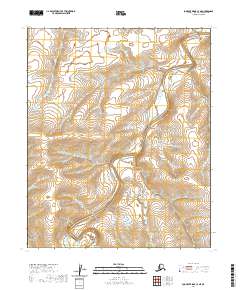
2020 Map of Lookout Ridge C-3 NE
USGS Topo · Published 2020About this map
Meade River defines the landscape of this remote section of the North Slope, carving a serpentine path through the Arctic coastal plain. The map traces the river's extensive meanders as it flows generally northeast, cutting through a series of low-relief plateaus and alluvial basins. The terrain is structured by the Public Land Survey System, with the boundaries of t5n r23w, t4n r22w, and t3n r22w among others, delineating the vast, unpopulated townships. The fine-grained contour lines reveal a complex network of drainage patterns and subtle elevation changes characteristic of this permafrost-influenced region. This 2020 survey provides a precise modern record of the river's morphology and the surrounding wilderness in one of the most northern reaches of Alaska.
Find a feature on this map
8 named features on this map. Tap any name to fly to it.
Don’t see what you’re looking for? This feature index may not catch every label — zoom into the map to look around manually.
Map Details
Editions of this 2020 Lookout Ridge C-3 NE Map
This is the sole edition of this map. No revisions or reprints were ever made.
Other maps of this area

1951 · Lookout Ridge
USGS Topo · 1:250,000

1956 · Lookout Ridge
USGS Topo · 1:250,000
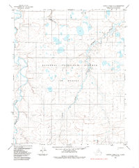
1984 · Lookout Ridge D-2
USGS Topo · 1:63,360

1984 · Lookout Ridge D-3
USGS Topo · 1:63,360
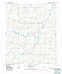
1985 · Lookout Ridge C-3
USGS Topo · 1:63,360
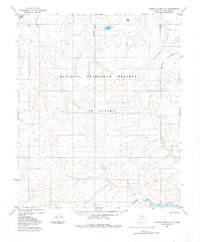
1985 · Lookout Ridge C-2
USGS Topo · 1:63,360
2013 · Lookout Ridge D-3 SE
USGS Topo · 1:25,000
2013 · Lookout Ridge D-3 SW
USGS Topo · 1:25,000
2015 · Lookout Ridge C-3 NW
USGS Topo · 1:25,000
2015 · Lookout Ridge C-2 SW
USGS Topo · 1:25,000