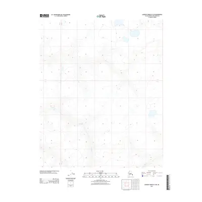
2013 Map of Lookout Ridge D-3 SW
USGS Topo · Published 2013About this map
The Avalik River winds through this expanse of the North Slope, serving as the primary geographic feature in an area defined by its drainage patterns and Arctic topography. This 2013 survey highlights the intricate network of seasonal streams and ponds that feed into the main river channel as it traverses the remote landscape of the Lookout Ridge D-3 SW quadrangle. The map details the subtle elevation changes of the tundra, with contour lines illustrating the low-lying ridges and basins that dictate the flow of water across this northern terrain. The layout of the Public Land Survey System, including the boundaries for Townships 5 and 6 North and Ranges 23 and 24 West, provides the only human-imposed grid over this otherwise natural wilderness.
Find a feature on this map
3 named features on this map. Tap any name to fly to it.
Don’t see what you’re looking for? This feature index may not catch every label — zoom into the map to look around manually.
Map Details
Editions of this 2013 Lookout Ridge D-3 SW Map
This is the sole edition of this map. No revisions or reprints were ever made.
Other maps of this area

1951 · Lookout Ridge
USGS Topo · 1:250,000

1956 · Lookout Ridge
USGS Topo · 1:250,000
1984 · Lookout Ridge D-4
USGS Topo · 1:63,360

1984 · Lookout Ridge D-3
USGS Topo · 1:63,360
1984 · Lookout Ridge C-4
USGS Topo · 1:63,360
1985 · Lookout Ridge C-3
USGS Topo · 1:63,360
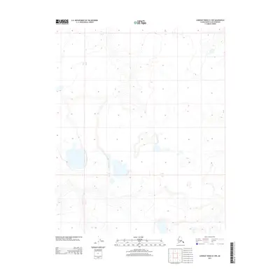
2013 · Lookout Ridge D-3 NW
USGS Topo · 1:25,000
2013 · Lookout Ridge D-3 NE
USGS Topo · 1:25,000
2013 · Lookout Ridge D-3 SE
USGS Topo · 1:25,000
2015 · Lookout Ridge C-3 NW
USGS Topo · 1:25,000