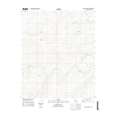
2015 Map of Lookout Ridge C-3 SW
USGS Topo · Published 2015About this map
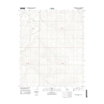
Meade River snakes through this remote Arctic landscape, its meandering channel defining the drainage patterns of the North Slope. The terrain is marked by the presence of Kulugra Ridge, a prominent elevation that rises between the river valleys. Tributaries like Shaningarok Creek and Pahron Cr feed into the primary water system, illustrating the complex hydrological network typical of this tundra region. This 2015 U.S. Geological Survey representation captures the natural topography and watercourses before significant modern industrial changes, serving as a baseline for environmental study and geography of the Alaskan wilderness. The map details the township and range boundaries of T3N and T2N, providing a precise spatial context for this portion of the borough.
Find a feature on this map
8 named features on this map. Tap any name to fly to it.
Don’t see what you’re looking for? This feature index may not catch every label — zoom into the map to look around manually.
Map Details
Editions of this 2015 Lookout Ridge C-3 SW Map
This is the sole edition of this map. No revisions or reprints were ever made.
Other maps of this area

1951 · Lookout Ridge
USGS Topo · 1:250,000

1956 · Lookout Ridge
USGS Topo · 1:250,000
1984 · Lookout Ridge C-4
USGS Topo · 1:63,360
1985 · Lookout Ridge C-3
USGS Topo · 1:63,360
1985 · Lookout Ridge B-4
USGS Topo · 1:63,360
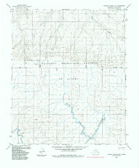
1985 · Lookout Ridge B-3
USGS Topo · 1:63,360
2013 · Lookout Ridge B-3 NE
USGS Topo · 1:25,000
2015 · Lookout Ridge C-3 NW
USGS Topo · 1:25,000
2015 · Lookout Ridge B-3 NW
USGS Topo · 1:25,000
2015 · Lookout Ridge C-3 SE
USGS Topo · 1:25,000