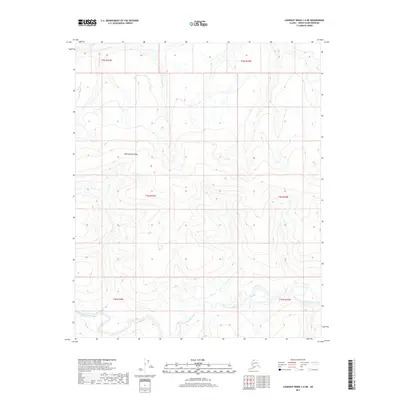
2017 Map of Lookout Ridge C-4 NE
USGS Topo · Published 2017About this map
Shaningarok Ridge dominates the northern landscape of this remote North Slope sector, providing a stark topographic contrast to the drainage basins below. The terrain is defined by the winding course of Shaningarok Creek, which meanders through the southern half of the quadrangle. This 2017 survey captures the intricate drainage patterns of the Arctic tundra, where small tributaries and wetlands are dictated by the underlying permafrost and low-lying elevation. The map shows no permanent settlements or infrastructure, highlighting the pristine and uninhabited nature of the Alaskan wilderness. Researchers studying hydrological flow or Arctic landforms can trace the specific path of the creek as it moves through township boundaries like t3n r24w and t3n r25w.
Find a feature on this map
8 named features on this map. Tap any name to fly to it.
Don’t see what you’re looking for? This feature index may not catch every label — zoom into the map to look around manually.
Map Details
Editions of this 2017 Lookout Ridge C-4 NE Map
This is the sole edition of this map. No revisions or reprints were ever made.
Other maps of this area

1951 · Lookout Ridge
USGS Topo · 1:250,000

1956 · Lookout Ridge
USGS Topo · 1:250,000
1984 · Lookout Ridge D-4
USGS Topo · 1:63,360

1984 · Lookout Ridge D-3
USGS Topo · 1:63,360
1984 · Lookout Ridge C-4
USGS Topo · 1:63,360
1985 · Lookout Ridge C-3
USGS Topo · 1:63,360
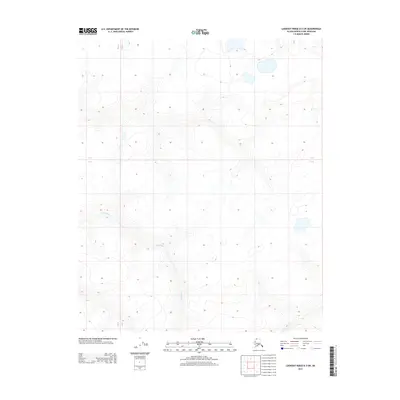
2013 · Lookout Ridge D-3 SW
USGS Topo · 1:25,000
2014 · Lookout Ridge D-4 SW
USGS Topo · 1:25,000
2014 · Lookout Ridge C-4 SW
USGS Topo · 1:25,000
2014 · Lookout Ridge C-4 NW
USGS Topo · 1:25,000