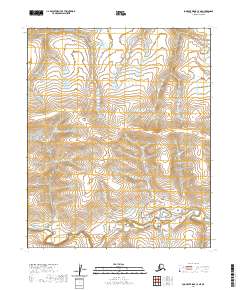
2020 Map of Lookout Ridge C-4 NE
USGS Topo · Published 2020About this map
Shaningarok Creek meanders through the southern portion of this landscape, carving a low-lying path through the ridges of the North Slope. This 2020 survey illustrates the remote and undeveloped character of northern Alaska, where the landscape is defined by the Public Land Survey System grid rather than human settlements. The map covers a vast intersection of township boundaries, including T5n R25w, T5n R24w, T4n R25w, and T4n R24w, showing the systematic division of this Arctic wilderness. With no roads or permanent structures recorded, the geography focuses entirely on the natural drainage patterns and the subtle elevation changes of the ridge system. This map is a primary reference for understanding the hydrological flow of the creek as it relates to the surrounding high ground of the Lookout Ridge area.
Find a feature on this map
7 named features on this map. Tap any name to fly to it.
Don’t see what you’re looking for? This feature index may not catch every label — zoom into the map to look around manually.
Map Details
Editions of this 2020 Lookout Ridge C-4 NE Map
This is the sole edition of this map. No revisions or reprints were ever made.
Other maps of this area

1951 · Lookout Ridge
USGS Topo · 1:250,000

1956 · Lookout Ridge
USGS Topo · 1:250,000
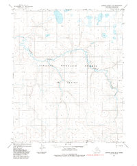
1984 · Lookout Ridge D-4
USGS Topo · 1:63,360

1984 · Lookout Ridge D-3
USGS Topo · 1:63,360
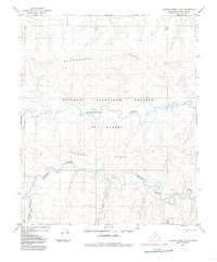
1984 · Lookout Ridge C-4
USGS Topo · 1:63,360
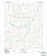
1985 · Lookout Ridge C-3
USGS Topo · 1:63,360
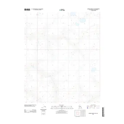
2013 · Lookout Ridge D-3 SW
USGS Topo · 1:25,000
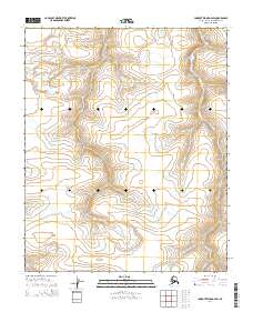
2014 · Lookout Ridge D-4 SW
USGS Topo · 1:25,000
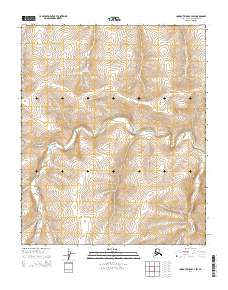
2014 · Lookout Ridge C-4 SW
USGS Topo · 1:25,000
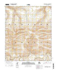
2014 · Lookout Ridge C-4 NW
USGS Topo · 1:25,000