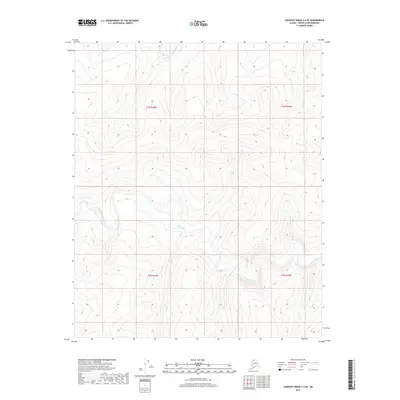
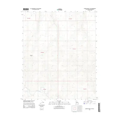
2017 Map of Lookout Ridge C-4 SE
USGS Topo · Published 2017About this map
The Meade River dominates this portion of the North Slope, carving a serpentine path through a landscape defined by its subtle elevation changes and glacial-era drainage patterns. This 2017 U.S. Geological Survey representation captures the natural hydrography of the Arctic coastal plain, where the river's winding oxbows and cutoffs illustrate a mature fluvial system. To the north, Shaningarok Creek drains into the surrounding basin, marking one of the few named landmarks in this remote expanse of the North Slope Borough. The lack of man-made infrastructure or permanent settlements underscores the area's character as an untouched wilderness, preserving the same topography encountered by early scientific expeditions and indigenous travelers across the Alaskan tundra.
Find a feature on this map
6 named features on this map. Tap any name to fly to it.
Don’t see what you’re looking for? This feature index may not catch every label — zoom into the map to look around manually.
Map Details
Editions of this 2017 Lookout Ridge C-4 SE Map
This is the sole edition of this map. No revisions or reprints were ever made.
Other maps of this area

1951 · Lookout Ridge
USGS Topo · 1:250,000

1956 · Lookout Ridge
USGS Topo · 1:250,000
1984 · Lookout Ridge C-4
USGS Topo · 1:63,360
1985 · Lookout Ridge C-3
USGS Topo · 1:63,360
1985 · Lookout Ridge B-4
USGS Topo · 1:63,360
1985 · Lookout Ridge B-3
USGS Topo · 1:63,360
2014 · Lookout Ridge C-4 SW
USGS Topo · 1:25,000
2014 · Lookout Ridge B-4 NW
USGS Topo · 1:25,000
2014 · Lookout Ridge C-4 NW
USGS Topo · 1:25,000
2015 · Lookout Ridge C-3 NW
USGS Topo · 1:25,000