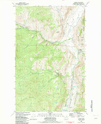
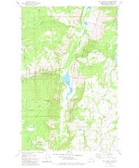
1982 Map of Loomis
USGS Topo · Published 1982About this map
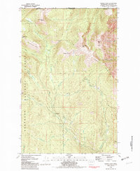
The mining history of Okanogan County is etched across the slopes of Palmer Mountain and Gold Hill in this early 1980s survey. The town of Loomis sits at the base of these heights, where the Palmer Mtn Tunnel and a concentration of claims like the Pinnacle Mine, Black Bear Mine, and War Eagle Mine reflect the era's hard-rock extraction legacy. This landscape is defined by the transition from industrial activity to managed conservation within the Sinlahekin Wildlife Recreation Area.
Find a feature on this map
56 named features on this map. Tap any name to fly to it.
Don’t see what you’re looking for? This feature index may not catch every label — zoom into the map to look around manually.
Map Details
Editions of this 1982 Loomis Map
This is the sole edition of this map. No revisions or reprints were ever made.
Other maps of this area
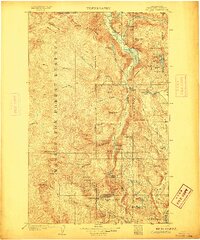
1906 · Chopaka
USGS Topo · 1:125,000

1954 · Okanogan
USGS Topo · 1:250,000
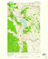
1956 · Loomis
USGS Topo · 1:62,500
1956 · Tiffany Mountain
USGS Topo · 1:62,500
1956 · Horseshoe Basin
USGS Topo · 1:62,500
1957 · Conconully
USGS Topo · 1:62,500

1958 · Okanogan
USGS Topo · 1:250,000
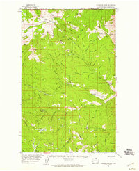
1980 · Aeneas Lake
USGS Topo · 1:24,000
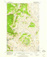
1980 · Blue Goat Mtn
USGS Topo · 1:24,000
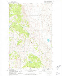
1981 · Hurley Peak
USGS Topo · 1:24,000