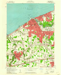
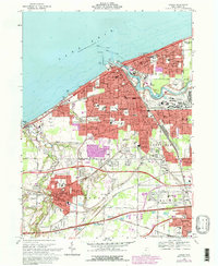
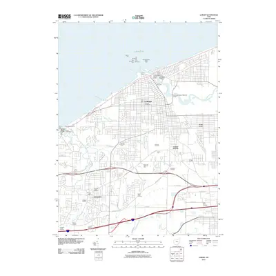
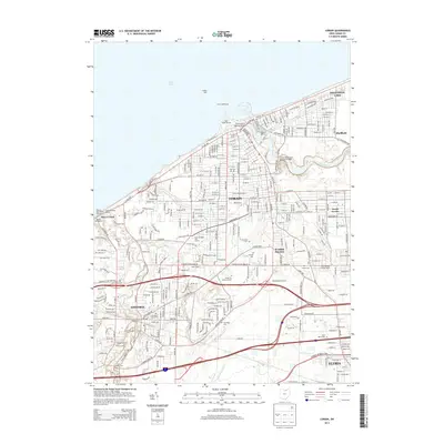
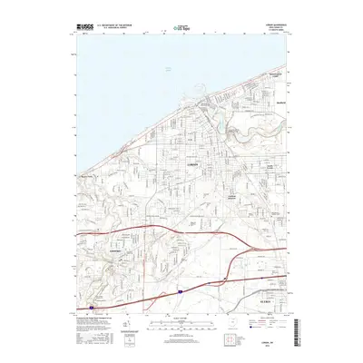
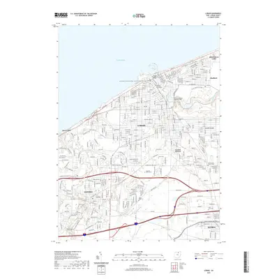
1986 Map of Lorain
USGS Topo · Published 1986About this map
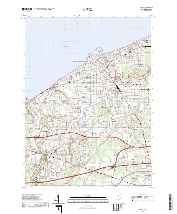
Lake Erie defines the northern edge of this North Central Ohio landscape, where the shoreline transition from Sandusky Bay to the industrial port of Lorain reveals a region built on maritime commerce and heavy rail. Inland, the map captures a mature 1980s infrastructure, anchored by the massive National Aeronautics and Space Administration Plum Brook Station and the prominent educational grounds of Oberlin College. The landscape is a lattice of transport, with the Ohio Turnpike and major corridors like U S Highway 20 intersecting historic rail lines including the Norfolk and Western Railway and Conrail. From the marshes of the Resthaven State Wildlife Management Area to the inland hubs of Norwalk and Elyria, the topography illustrates the balance between agricultural townships and the growing urban centers of the Rust Belt era.
Find a feature on this map
177 named features on this map. Tap any name to fly to it.
Don’t see what you’re looking for? This feature index may not catch every label — zoom into the map to look around manually.
Map Details
Editions of this 1986 Lorain Map
2 editions found
Historical Maps of Lorain Through Time
8 maps found