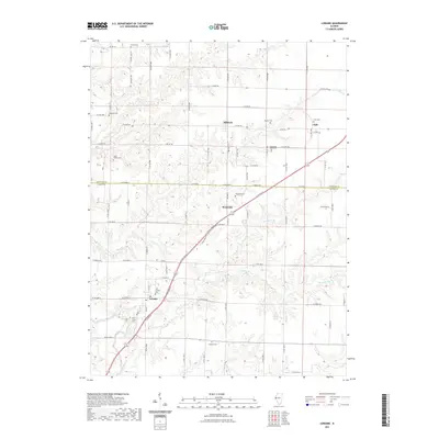
2021 Map of Loraine
USGS Topo · Published 2021About this map
Loraine stands as the primary settlement in this section of the Illinois countryside, where the landscape is defined by the headwaters of several drainages, including Thurman Cr and South Fork Bear Creek. The area is particularly rich in genealogical data, preserving the locations of numerous pioneer and family burial grounds such as the Bean Family Cem, Breneman Farm Cem, and Curless Cem. These sites, scattered among the townships of Adams Co and Hancock Co, provide a record of rural family settlement patterns that predate the modern road grid.
Find a feature on this map
76 named features on this map. Tap any name to fly to it.
Don’t see what you’re looking for? This feature index may not catch every label — zoom into the map to look around manually.
Map Details
Editions of this 2021 Loraine Map
This is the sole edition of this map. No revisions or reprints were ever made.
Other maps of this area

1933 · Carthage
USGS Topo · 1:62,500

1936 · Keokuk
USGS Topo · 1:62,500

1937 · Carthage
USGS Topo · 1:62,500

1946 · Mendon
USGS Topo · 1:62,500

1948 · Mendon
USGS Topo · 1:62,500

1948 · Camp Point
USGS Topo · 1:62,500

1950 · Keokuk
USGS Topo · 1:62,500

1958 · Burlington
USGS Topo · 1:250,000

1961 · Burlington
USGS Topo · 1:250,000

1963 · Burlington
USGS Topo · 1:250,000