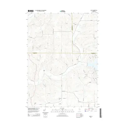
2015 Map of Loran
USGS Topo · Published 2015About this map
Loran stands at the intersection of rural highways where Jo Daviess and Stephenson counties meet, anchoring a landscape defined by the branching tributaries of the Plum River. The terrain is marked by the winding courses of the E Plum River, Muddy Plum River, and E Fork Cr, which flow through a network of ridges and hollows like Skunk Hollow. To the southeast, the modern footprint of Lake Carroll provides a sharp contrast to the surrounding agricultural grid, its irregular shoreline creating a complex residential and recreational pocket amidst the farmland.
Find a feature on this map
69 named features on this map. Tap any name to fly to it.
Don’t see what you’re looking for? This feature index may not catch every label — zoom into the map to look around manually.
Map Details
Editions of this 2015 Loran Map
This is the sole edition of this map. No revisions or reprints were ever made.
Other maps of this area

1892 · Savanna
USGS Topo · 1:62,500

1911 · Elizabeth
USGS Topo · 1:62,500

1936 · Elizabeth
USGS Topo · 1:62,500

1937 · Lena
USGS Topo · 1:48,000

1942 · Mt Carroll
USGS Topo · 1:62,500

1942 · Lena
USGS Topo · 1:62,500

1943 · Lena
USGS Topo · 1:62,500

1944 · Mt Carroll
USGS Topo · 1:62,500

1952 · Savanna
USGS Topo · 1:62,500

1954 · Rockford
USGS Topo · 1:250,000
Featured Places
- Loran, IL
- Pleasant Valley Township, IL
- Berreman Township, IL
- Stephenson County, IL
- Jo Daviess County, IL