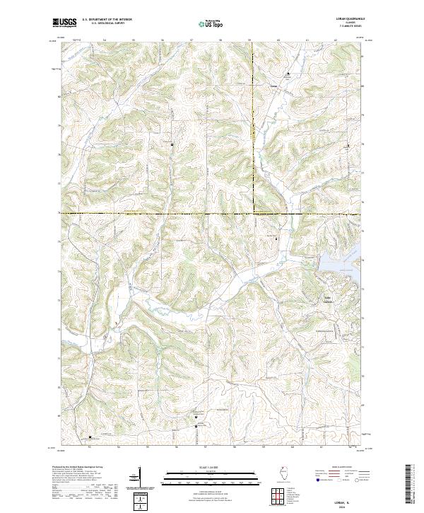
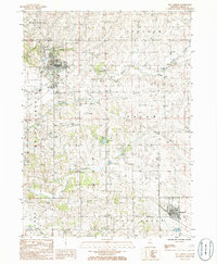
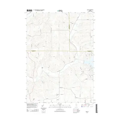
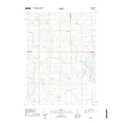
2024 Map of Loran
USGS Topo · Published 2024About this map
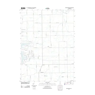
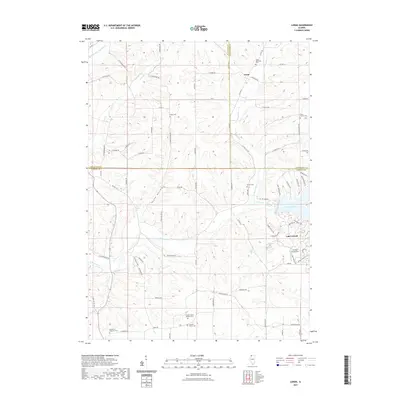
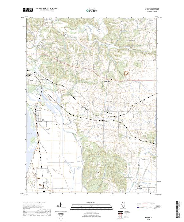
The Loran settlement sits at the junction of three counties, where the high ridges of northwest Illinois break toward the East Plum River and Muddy Plum River. This landscape is defined by its deep spiritual and community roots, evidenced by a high density of small rural burial grounds including Union Cem, Ebenezer Cem, and the Arnolds Grove Dunkard Cem. The topography is marked by significant drainages like Skunk Hollow and Davis Creek, which carved the terrain long before the creation of the planned community at Lake Carroll in the southeastern corner. Genealogists will find interest in the scattered family and church landmarks such as the Woodland Brethren Cem and the Renner Cem, while the inclusion of the Foxfield Aerodrome highlights the modern rural transportation network. The map detail effectively captures the transition from traditional farmsteads to the recreational development surrounding the lake.
Find a feature on this map
85 named features on this map. Tap any name to fly to it.
Don’t see what you’re looking for? This feature index may not catch every label — zoom into the map to look around manually.
Map Details
Editions of this 2024 Loran Map
This is the sole edition of this map. No revisions or reprints were ever made.
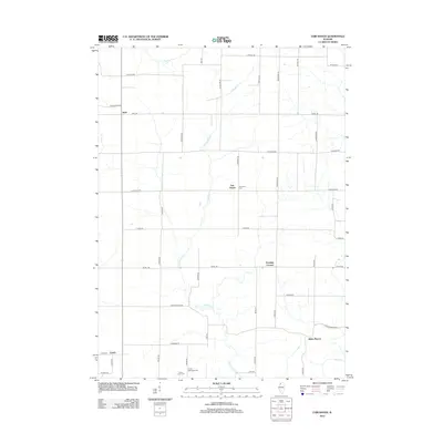
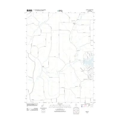
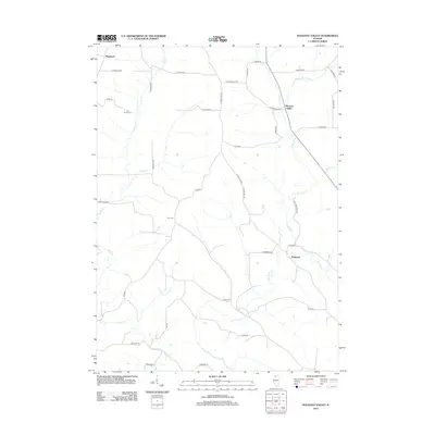
Historical Maps of Loran Through Time
40 maps found
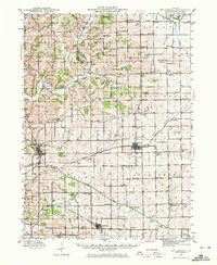
1942 Mt Carroll
Carroll County, IL
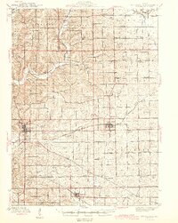
1944 Mt. Carroll
Carroll County, IL
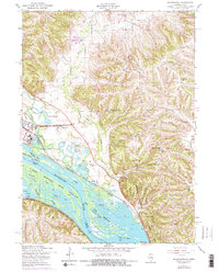
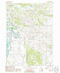
1953 Blackhawk
Carroll County, IL
1985 Boone Branch
Carroll County, IL
1985 Fair Haven
Carroll County, IL
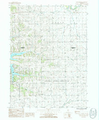
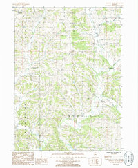
1985 Loran
Carroll County, IL
1985 Mt. Carroll
Carroll County, IL
1985 Pleasant Valley
Carroll County, IL
1985 Wacker
Carroll County, IL
2010 Blackhawk
Carroll County, IL
2012 Blackhawk
Carroll County, IL
2012 Boone Branch
Carroll County, IL
2012 Fair Haven
Carroll County, IL
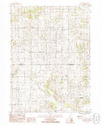
2012 Loran
Carroll County, IL
2012 Pleasant Valley
Carroll County, IL
2012 Wacker
Carroll County, IL
2015 Blackhawk
Carroll County, IL
2015 Boone Branch
Carroll County, IL
2015 Fair Haven
Carroll County, IL
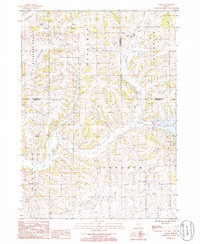
2015 Loran
Carroll County, IL
2015 Pleasant Valley
Carroll County, IL

2015 Wacker
Carroll County, IL
2018 Blackhawk
Carroll County, IL
2018 Boone Branch
Carroll County, IL

2018 Fair Haven
Carroll County, IL
2018 Loran
Carroll County, IL
2018 Pleasant Valley
Carroll County, IL

2018 Wacker
Carroll County, IL
2021 Blackhawk
Carroll County, IL
2021 Boone Branch
Carroll County, IL
2021 Fair Haven
Carroll County, IL
2021 Loran
Carroll County, IL
2021 Pleasant Valley
Carroll County, IL
2021 Wacker
Carroll County, IL
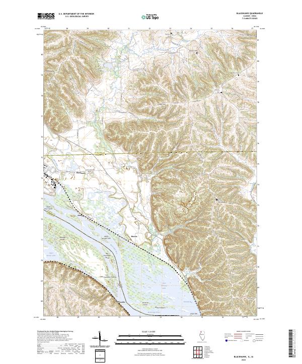
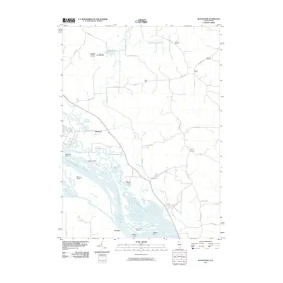
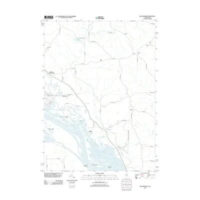
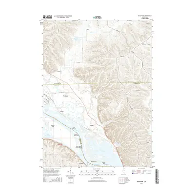
2024 Blackhawk
Carroll County, IL
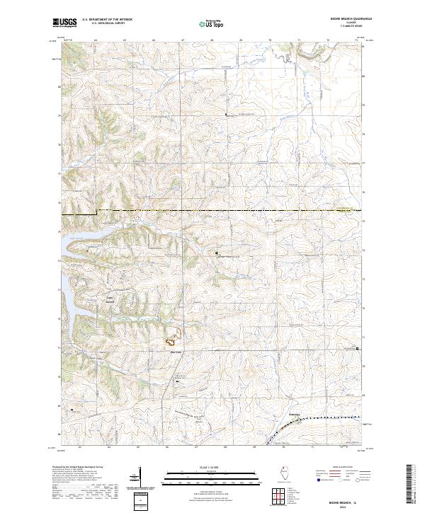
2024 Boone Branch
Carroll County, IL
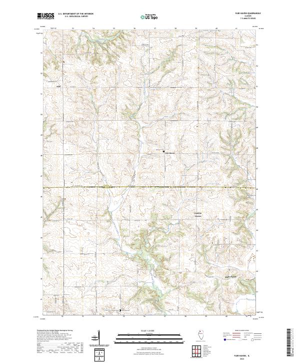
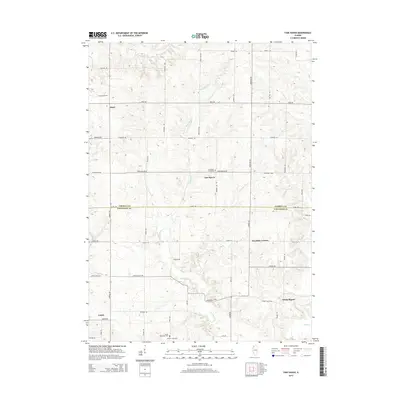
2024 Fair Haven
Carroll County, IL
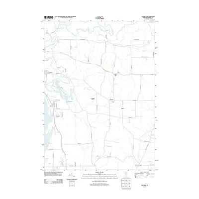
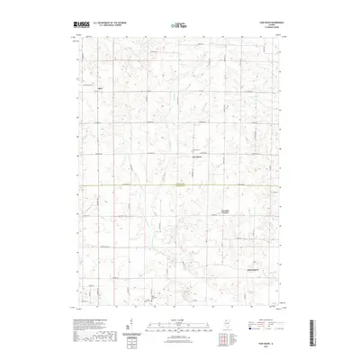
2024 Loran
Carroll County, IL
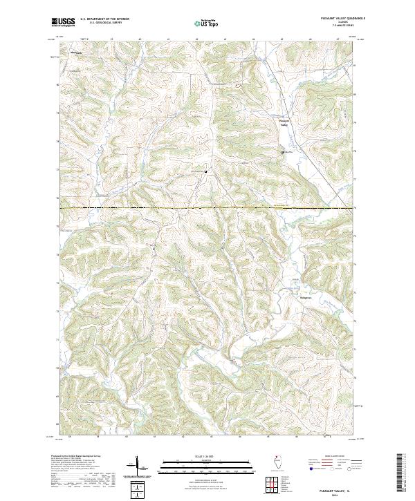
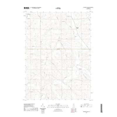
2024 Pleasant Valley
Carroll County, IL
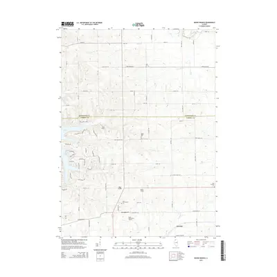
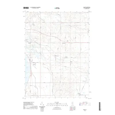
2024 Wacker
Carroll County, IL
Featured Locations
- Jo Daviess County, IL
- Stephenson County, IL
- Pleasant Valley Township, IL
- Berreman Township, IL
- Loran, IL