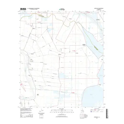
2015 Map of Loreauville
USGS Topo · Published 2015About this map
Bayou Teche winds along the western edge of this coastal Louisiana landscape, anchoring a string of settlements that follow the natural levees. The town of Loreauville sits at the heart of this corridor, surrounded by smaller communities such as Bronson, Oubre, and Tony. The transition from the high ground of the levee to the swampy lowlands is marked by an extensive system of man-made waterways, including the Loreauville Canal and Marshfield Canal, which were critical for drainage and transport in the Iberia Parish sugarcane country.
Find a feature on this map
78 named features on this map. Tap any name to fly to it.
Don’t see what you’re looking for? This feature index may not catch every label — zoom into the map to look around manually.
Map Details
Editions of this 2015 Loreauville Map
This is the sole edition of this map. No revisions or reprints were ever made.
Other maps of this area
1937 · Jeanerette
USGS Topo · 1:62,500
1937 · Derouen
USGS Topo · 1:62,500
1939 · St. Martinsville
USGS Topo · 1:62,500
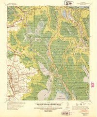
1941 · Loreauville
USGS Topo · 1:62,500
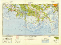
1945 · New Orleans
USGS Topo · 1:250,000
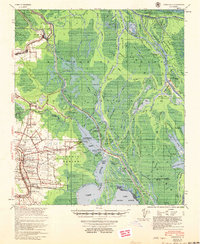
1954 · Loreauville
USGS Topo · 1:62,500
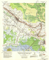
1954 · Jeanerette
USGS Topo · 1:62,500

1954 · Baton Rouge
USGS Topo · 1:250,000
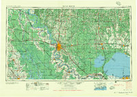
1956 · Baton Rouge
USGS Topo · 1:250,000
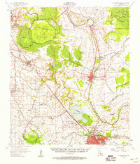
1957 · St. Martinville
USGS Topo · 1:62,500