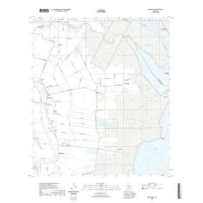
2020 Map of Loreauville
USGS Topo · Published 2020About this map
Bayou Teche defines the western edge of this landscape, anchoring a series of communities that stretch from Loreauville south through Tony, Vida, and Belle Place. The settlement pattern here follows the natural levees and historical parish boundaries, where the agricultural lands of Iberia Parish transition into the expansive wetlands of the Atchafalaya Basin Floodway. Numerous local cemeteries, including Saint-Joseph Catholic Cem and Mount Zion Number 1 Baptist Cem, provide valuable landmarks for genealogists tracing families in this part of Acadiana.
Find a feature on this map
93 named features on this map. Tap any name to fly to it.
Don’t see what you’re looking for? This feature index may not catch every label — zoom into the map to look around manually.
Map Details
Editions of this 2020 Loreauville Map
This is the sole edition of this map. No revisions or reprints were ever made.
Other maps of this area
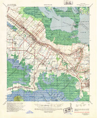
1937 · Jeanerette
USGS Topo · 1:62,500
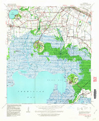
1937 · Derouen
USGS Topo · 1:62,500
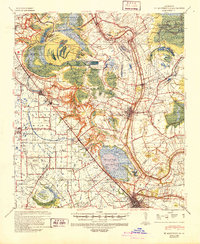
1939 · St. Martinsville
USGS Topo · 1:62,500
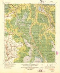
1941 · Loreauville
USGS Topo · 1:62,500
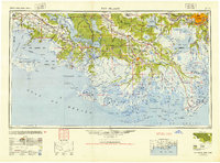
1945 · New Orleans
USGS Topo · 1:250,000
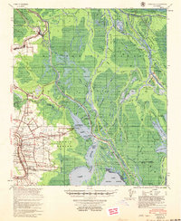
1954 · Loreauville
USGS Topo · 1:62,500
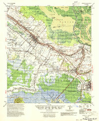
1954 · Jeanerette
USGS Topo · 1:62,500

1954 · Baton Rouge
USGS Topo · 1:250,000
1956 · Baton Rouge
USGS Topo · 1:250,000
1957 · St. Martinville
USGS Topo · 1:62,500