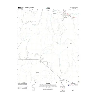
2012 Map of Los Alamos
USGS Topo · Published 2012About this map
Los Alamos sits at the northern end of this Santa Barbara County landscape, situated within the Los Alamos Valley where San Antonio Cr flows. The settlement's footprint is clearly defined by its street grid, including Bell St and Coiner St, with the Los Alamos Cem located just to the south. The topography is dominated by several significant ridges and drainages, most notably the Purisima Hills and the Santa Rita Hills, which frame the lowlands of the Santa Rita Valley.
Find a feature on this map
28 named features on this map. Tap any name to fly to it.
Don’t see what you’re looking for? This feature index may not catch every label — zoom into the map to look around manually.
Map Details
Editions of this 2012 Los Alamos Map
This is the sole edition of this map. No revisions or reprints were ever made.
Other maps of this area

1905 · Lompoc
USGS Topo · 1:125,000

1942 · Lompoc
USGS Topo · 1:125,000

1942 · Lompoc
USGS Topo · 1:62,500

1942 · Santa Maria
USGS Topo · 1:62,500

1942 · Tepusquet Peak
USGS Topo · 1:62,500

1942 · Los Olivos
USGS Topo · 1:62,500

1943 · Los Olivos
USGS Topo · 1:62,500

1943 · Tepusquet Peak
USGS Topo · 1:62,500

1943 · Lompoc
USGS Topo · 1:125,000

1947 · Lompoc
USGS Topo · 1:24,000