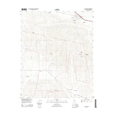
2015 Map of Los Alamos
USGS Topo · Published 2015About this map
Los Alamos sits at the confluence of several canyons and creek beds, serving as the primary hub for this portion of Santa Barbara County. The terrain is defined by the sharp rise of the Purisima Hills and the Santa Rita Hills, which hem in fertile drainage areas like the Santa Rita Valley. Water management is central to the landscape's organization, with features such as San Antonio Cr, Cañada De Santa Rosa, and Cañada De Las Calaveras carving the topography. Local history is anchored at the Los Alamos Cem and along established routes such as Foxen Ln and Santa Rita Rd. This 2015 survey illustrates how the grid of Township and Range lines, specifically t7n r33w and t7n r32w, overlays a complex system of canyons including Drum Canyon and Crawford Canyon, reflecting the enduring agricultural and ranching patterns of the Central Coast region.
Find a feature on this map
34 named features on this map. Tap any name to fly to it.
Don’t see what you’re looking for? This feature index may not catch every label — zoom into the map to look around manually.
Map Details
Editions of this 2015 Los Alamos Map
This is the sole edition of this map. No revisions or reprints were ever made.
Other maps of this area

1905 · Lompoc
USGS Topo · 1:125,000

1942 · Lompoc
USGS Topo · 1:125,000

1942 · Lompoc
USGS Topo · 1:62,500

1942 · Santa Maria
USGS Topo · 1:62,500

1942 · Tepusquet Peak
USGS Topo · 1:62,500

1942 · Los Olivos
USGS Topo · 1:62,500

1943 · Los Olivos
USGS Topo · 1:62,500

1943 · Tepusquet Peak
USGS Topo · 1:62,500

1943 · Lompoc
USGS Topo · 1:125,000

1947 · Lompoc
USGS Topo · 1:24,000