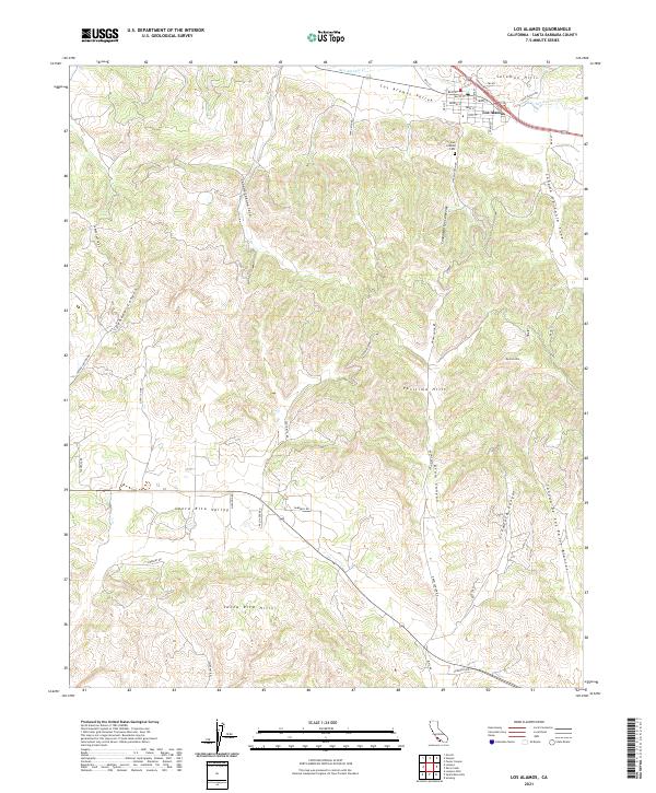
2021 Map of Los Alamos
USGS Topo · Published 2021About this map
The unincorporated community of Los Alamos occupies a central position in the Los Alamos Valley, situated along the winding course of San Antonio Cr. This 2021 survey illustrates the rural character of northern Santa Barbara County, where the settlement is bounded by the Solomon Hills to the north and the extensive Purisima Hills and Santa Rita Hills to the south. Local history is anchored at the Los Alamos Cem, while the town's grid is defined by thoroughfares such as Bell St, Main St, and Waite St.
Find a feature on this map
50 named features on this map. Tap any name to fly to it.
Don’t see what you’re looking for? This feature index may not catch every label — zoom into the map to look around manually.
Map Details
Editions of this 2021 Los Alamos Map
This is the sole edition of this map. No revisions or reprints were ever made.
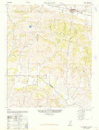
Historical Maps of La Purisima Through Time
3 maps found