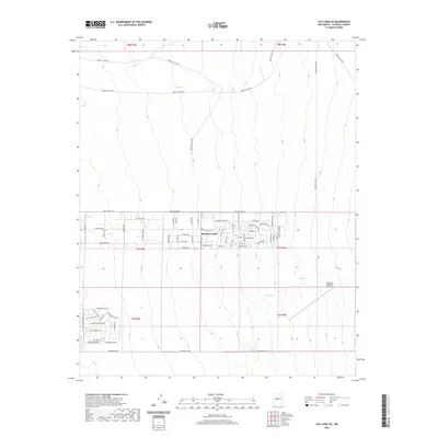
2020 Map of Los Lunas SE
USGS Topo · Published 2020About this map
Meadow Lake serves as the primary residential hub in this Valencia County landscape, characterized by a regular grid of desert streets south of Mesa Estates Rd. The community is defined by its organized blocks such as Primero Rd and Cll Medio, transitioning into the more open terrain of the high desert. To the southeast, the Manzano Mountain Air Ranch indicates the region's relationship with private aviation and remote land use. The northern portion of the map is dominated by a network of Bureau of Indian Affairs routes, including Indian Svc Rte 627 and Indian Svc Rte 626, which traverse the arid drainage patterns. A rare water source, Maes Spring, is noted in the central-east, providing a critical reference point for local history and land surveys in an otherwise dry environment.
Find a feature on this map
44 named features on this map. Tap any name to fly to it.
Don’t see what you’re looking for? This feature index may not catch every label — zoom into the map to look around manually.
Map Details
Editions of this 2020 Los Lunas SE Map
This is the sole edition of this map. No revisions or reprints were ever made.
Other maps of this area

1917 · Estancia
USGS Topo · 1:125,000

1952 · Tome NE
USGS Topo · 1:24,000

1952 · Hubbell Spring
USGS Topo · 1:24,000

1952 · Tome
USGS Topo · 1:24,000

1952 · Los Lunas SE
USGS Topo · 1:24,000

1952 · Los Lunas
USGS Topo · 1:24,000

1952 · Isleta
USGS Topo · 1:24,000

1954 · Bosque Peak
USGS Topo · 1:24,000

1954 · Capilla Peak
USGS Topo · 1:24,000

1954 · Mount Washington
USGS Topo · 1:24,000