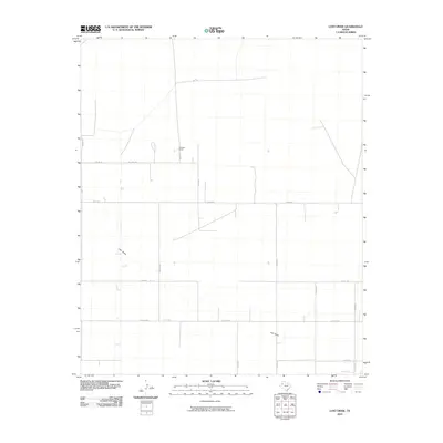
2010 Map of Lost Draw
USGS Topo · Published 2010About this map
Lost Draw meanders through this portion of Yoakum County, defining a landscape marked by a sparse but organized grid of rural roads and cattle ranching. The presence of Williams Ranch at the intersection of Williams Rd and Co Rd 395 illustrates the enduring importance of large-scale landholdings in this arid High Plains environment. The road network follows a rigid survey pattern, with long thoroughfares such as Taylor Rd and Six Mile Rd stretching across the plains to connect isolated homesteads and ranching outposts. This era of mapping shows the region's character as a working landscape, where infrastructure is designed specifically for the movement of livestock and equipment through the draws and flatlands of West Texas.
Find a feature on this map
16 named features on this map. Tap any name to fly to it.
Don’t see what you’re looking for? This feature index may not catch every label — zoom into the map to look around manually.
Map Details
Editions of this 2010 Lost Draw Map
This is the sole edition of this map. No revisions or reprints were ever made.
Other maps of this area

1954 · Brownfield
USGS Topo · 1:250,000

1958 · Brownfield
USGS Topo · 1:250,000

1962 · Brownfield
USGS Topo · 1:250,000

1965 · Plains 1 NE
USGS Topo · 1:24,000

1969 · Plains 1 SE
USGS Topo · 1:24,000

1970 · Plains 1 SW
USGS Topo · 1:24,000

1970 · Tokio
USGS Topo · 1:24,000

1970 · Tokio NW
USGS Topo · 1:24,000

1970 · Plains 1 NW
USGS Topo · 1:24,000

1971 · Schooler Ranch
USGS Topo · 1:24,000