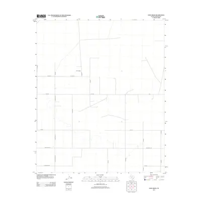
2012 Map of Lost Draw
USGS Topo · Published 2012About this map
Williams Ranch serves as a primary landmark in this section of the High Plains, where the landscape is defined by a rigorous grid of section lines and ranch roads. The territory transition from traditional ranching lands to a more structured agricultural layout is evident in the naming of thoroughfares such as Jim Gray Rd and Williams Rd, which reflect the area's local landholding history. The presence of Ranch Road 2196 and north-south connectors like Jones-Gayle Rd and Martin-Kanosha Rd illustrates the modernization of transportation in Yoakum County by the early 21st century. This map preserves the specific placement of rural homesteads and named routes like Cherkee Strip Rd, providing a clear look at the settlement patterns of this West Texas region.
Find a feature on this map
21 named features on this map. Tap any name to fly to it.
Don’t see what you’re looking for? This feature index may not catch every label — zoom into the map to look around manually.
Map Details
Editions of this 2012 Lost Draw Map
This is the sole edition of this map. No revisions or reprints were ever made.
Other maps of this area

1954 · Brownfield
USGS Topo · 1:250,000

1958 · Brownfield
USGS Topo · 1:250,000

1962 · Brownfield
USGS Topo · 1:250,000

1965 · Plains 1 NE
USGS Topo · 1:24,000

1969 · Plains 1 SE
USGS Topo · 1:24,000

1970 · Plains 1 SW
USGS Topo · 1:24,000

1970 · Tokio
USGS Topo · 1:24,000

1970 · Tokio NW
USGS Topo · 1:24,000

1970 · Plains 1 NW
USGS Topo · 1:24,000

1971 · Schooler Ranch
USGS Topo · 1:24,000