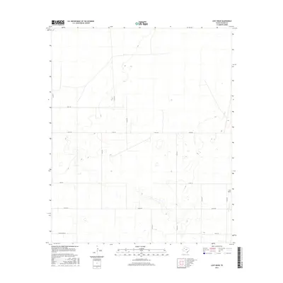
2016 Map of Lost Draw
USGS Topo · Published 2016About this map
Lost Draw meanders through this portion of Yoakum County, defining a landscape of ephemeral drainage and seasonal basins. This 2016 survey illustrates the structured grid of rural section roads that crisscross the Texas Panhandle, including Cherokee Strip Rd and Six Mile Rd. The terrain is characterized by numerous small depressions and playas, typical of the Llano Estacado, where water collects after rare rains. The sparse settlement pattern is evidenced by the intersection of long-established routes like Todd Rd and Taylor Rd, which serve scattered ranching operations and oil interests in the region. Local historians can trace the continuity of land use through the persistent network of county roads such as Co Rd 130 and Co Rd 355, which maintain the boundaries of large agricultural and grazing parcels.
Find a feature on this map
17 named features on this map. Tap any name to fly to it.
Don’t see what you’re looking for? This feature index may not catch every label — zoom into the map to look around manually.
Map Details
Editions of this 2016 Lost Draw Map
This is the sole edition of this map. No revisions or reprints were ever made.
Other maps of this area

1954 · Brownfield
USGS Topo · 1:250,000

1958 · Brownfield
USGS Topo · 1:250,000

1962 · Brownfield
USGS Topo · 1:250,000

1965 · Plains 1 NE
USGS Topo · 1:24,000

1969 · Plains 1 SE
USGS Topo · 1:24,000

1970 · Plains 1 SW
USGS Topo · 1:24,000

1970 · Tokio
USGS Topo · 1:24,000

1970 · Tokio NW
USGS Topo · 1:24,000

1970 · Plains 1 NW
USGS Topo · 1:24,000

1971 · Schooler Ranch
USGS Topo · 1:24,000