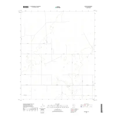
2019 Map of Lost Draw
USGS Topo · Published 2019About this map
Lost Draw, a seasonal drainage course typical of the Llano Estacado, meanders across this Yoakum County landscape. The terrain is defined by a sparse, rhythmic grid of agricultural and ranch roads, reflecting the high plains land division system. Significant local thoroughfares like Six Mile Rd and Todd Rd provide structure to the open country, while Cherokee Strip Rd runs along the southern edge, hinting at the historical boundaries and naming conventions of the region. This 2019 data from the U.S. Geological Survey shows a modern rural environment where water, though intermittent, remains the central geographic feature of the plains.
Find a feature on this map
17 named features on this map. Tap any name to fly to it.
Don’t see what you’re looking for? This feature index may not catch every label — zoom into the map to look around manually.
Map Details
Editions of this 2019 Lost Draw Map
This is the sole edition of this map. No revisions or reprints were ever made.
Other maps of this area

1954 · Brownfield
USGS Topo · 1:250,000

1958 · Brownfield
USGS Topo · 1:250,000

1962 · Brownfield
USGS Topo · 1:250,000

1965 · Plains 1 NE
USGS Topo · 1:24,000

1969 · Plains 1 SE
USGS Topo · 1:24,000

1970 · Plains 1 SW
USGS Topo · 1:24,000

1970 · Tokio
USGS Topo · 1:24,000

1970 · Tokio NW
USGS Topo · 1:24,000

1970 · Plains 1 NW
USGS Topo · 1:24,000

1971 · Schooler Ranch
USGS Topo · 1:24,000