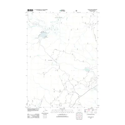
2012 Map of Louis Lake
USGS Topo · Published 2012About this map
Louis Lake Resort and the surrounding high-country water systems of Fremont County define this 2012 survey. The landscape is characterized by a complex drainage network where the Little Popo Agie River and Atlantic Cr gather near the northern boundary, while Louis Lake serves as a central recreational hub with multiple designated areas like Louis Lake Picnic Area and Louis Lake Beach Campground. The map reveals the intricate management of mountain water resources, seen in the Upper Rock Creek Reservoir and the paths of Louis Cr and Rock Cr. High-elevation openings such as Grannier Meadow and Goldman Meadows provide distinct breaks in the terrain, while landmarks like Sherwood Point overlook the Maxon Basin, illustrating the geographic transition between peaks and meadow basins.
Find a feature on this map
26 named features on this map. Tap any name to fly to it.
Don’t see what you’re looking for? This feature index may not catch every label — zoom into the map to look around manually.
Map Details
Editions of this 2012 Louis Lake Map
This is the sole edition of this map. No revisions or reprints were ever made.
Other maps of this area

1953 · Cony Mountain
USGS Topo · 1:24,000

1953 · Atlantic City
USGS Topo · 1:24,000

1953 · Fossil Hill
USGS Topo · 1:24,000

1953 · Louis Lake
USGS Topo · 1:24,000

1953 · South Pass City
USGS Topo · 1:24,000

1953 · Christina Lake
USGS Topo · 1:24,000

1954 · Wolf Point
USGS Topo · 1:24,000

1954 · Miners Delight
USGS Topo · 1:24,000

1955 · Lander
USGS Topo · 1:250,000

1958 · Lander
USGS Topo · 1:250,000