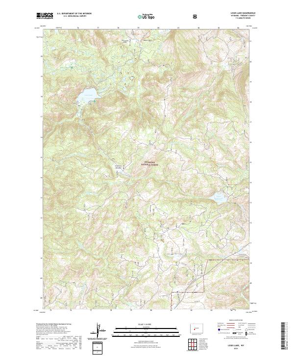
2021 Map of Louis Lake
USGS Topo · Published 2021About this map
The Shoshone National Forest landscape in Fremont County is defined by its complex hydrological network and high-elevation basins. At the heart of this terrain lies Louis Lake, a focal point for recreation and access served by the Louis Lake Trl. The map details a rugged drainage system where the Little Popo Agie River flows in the north, while Rock Cr and Beaver Cr carve through the central and southern reaches.
Find a feature on this map
30 named features on this map. Tap any name to fly to it.
Don’t see what you’re looking for? This feature index may not catch every label — zoom into the map to look around manually.
Map Details
Editions of this 2021 Louis Lake Map
This is the sole edition of this map. No revisions or reprints were ever made.
Other maps of this area

1953 · Cony Mountain
USGS Topo · 1:24,000

1953 · Atlantic City
USGS Topo · 1:24,000

1953 · Fossil Hill
USGS Topo · 1:24,000

1953 · Louis Lake
USGS Topo · 1:24,000

1953 · South Pass City
USGS Topo · 1:24,000

1953 · Christina Lake
USGS Topo · 1:24,000

1954 · Wolf Point
USGS Topo · 1:24,000

1954 · Miners Delight
USGS Topo · 1:24,000

1955 · Lander
USGS Topo · 1:250,000

1958 · Lander
USGS Topo · 1:250,000