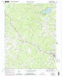
1970 Map of Louisa
USGS Topo · Published 1991About this map
The Chesapeake and Ohio railroad corridor serves as the backbone of this Piedmont landscape, connecting the county seat at Louisa with rural stops like Trevilians and Green Springs. This survey documents a transitional era in rural Virginia, where traditional markers like Oak Grove Ch and V G Depot Sch sit alongside mid-century developments, including a Drive-in Theater and the growing residential community at Blue Ridge Shores on the banks of Lake Louisa.
Find a feature on this map
44 named features on this map. Tap any name to fly to it.
Don’t see what you’re looking for? This feature index may not catch every label — zoom into the map to look around manually.
Map Details
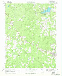
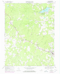
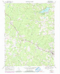
Editions of this 1970 Louisa Map
4 editions found
Other maps of this area

1887 · Spottsylvania
USGS Topo · 1:125,000

1890 · Goochland
USGS Topo · 1:125,000

1891 · Palmyra
USGS Topo · 1:125,000

1892 · Spottsylvania
USGS Topo · 1:125,000

1892 · Goochland
USGS Topo · 1:125,000

1892 · Gordonsville
USGS Topo · 1:125,000

1895 · Palmyra
USGS Topo · 1:125,000

1897 · Palmyra
USGS Topo · 1:125,000

1942 · Mineral
USGS Topo · 1:31,680

1942 · Lahore
USGS Topo · 1:31,680