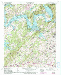
1968 Map of Louisville
USGS Topo · Published 1985About this map
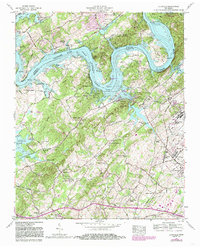
Fort Loudoun Lake dominates the landscape south of Knoxville, where the river's winding bends like Jackson Bend and Toole Bend carve through the border of Knox and Blount counties. The town of Louisville serves as a central hub, flanked by its local institutions including the Louisville School and Louisville Cemetery. The map captures a mix of established community centers and industrial footprints, from the bustling McGhee Tyson Airport to the quieter corridors of the Seaboard Coast Line railroad. Small settlements such as Miser Station, Arline, and Middle Settlement offer significant detail for genealogists, particularly with several family-named burial grounds like Cox Cemetery and Russell Cemetery noted. Along the southern ridges, the presence of Mahoney Mill and several community churches like Beech Grove Church highlight the rural social structure that persisted even as aviation and suburban growth began to reshape the Tennessee Valley.
Find a feature on this map
92 named features on this map. Tap any name to fly to it.
Don’t see what you’re looking for? This feature index may not catch every label — zoom into the map to look around manually.
Map Details
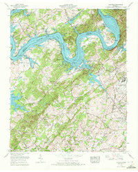
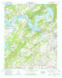
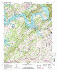
Editions of this 1968 Louisville Map
5 editions found
Other maps of this area

1886 · Knoxville
USGS Topo · 1:125,000

1892 · Knoxville
USGS Topo · 1:125,000

1894 · Knoxville
USGS Topo · 1:125,000

1895 · Loudon
USGS Topo · 1:125,000

1895 · Knoxville
USGS Topo · 1:125,000

1901 · Knoxville
USGS Topo · 1:125,000

1935 · Binfield
USGS Topo · 1:24,000

1935 · Knoxville
USGS Topo · 1:48,000

1935 · Meadow
USGS Topo · 1:24,000

1935 · Maryville
USGS Topo · 1:24,000