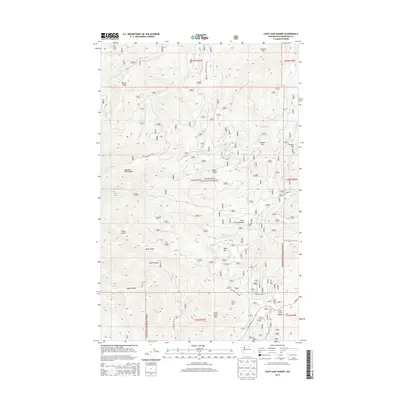
2014 Map of Loup Loup Summit
USGS Topo · Published 2014About this map
Okanogan National Forest defines the high-country landscape of this 2014 survey, where the peaks of Granite Mtn and Bobcat Mtn overlook a complex network of forest development roads. The area is a hub for high-altitude recreation, centered on the Loup Loup Ski Area and the Loup Loup Recreation Area near the southern boundary. These facilities, along with the Loup Loup Campground, utilize the natural passes around Loup Loup Summit where State Hwy 20 crosses the range.
Find a feature on this map
41 named features on this map. Tap any name to fly to it.
Don’t see what you’re looking for? This feature index may not catch every label — zoom into the map to look around manually.
Map Details
Editions of this 2014 Loup Loup Summit Map
This is the sole edition of this map. No revisions or reprints were ever made.
Other maps of this area

1899 · Methow
USGS Topo · 1:125,000

1901 · Methow
USGS Topo · 1:125,000

1905 · Okanogan
USGS Topo · 1:125,000

1906 · Chopaka
USGS Topo · 1:125,000

1954 · Okanogan
USGS Topo · 1:250,000

1955 · Concrete
USGS Topo · 1:250,000

1956 · Loup Loup
USGS Topo · 1:62,500

1956 · Tiffany Mountain
USGS Topo · 1:62,500

1958 · Concrete
USGS Topo · 1:250,000

1958 · Okanogan
USGS Topo · 1:250,000