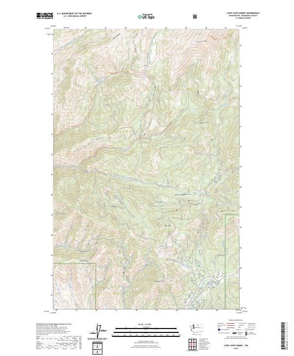
2023 Map of Loup Loup Summit
USGS Topo · Published 2023About this map
Okanogan National Forest dominates this high-elevation landscape, where the ridges and valleys of the Washington Cascades are defined by a network of drainage systems and primitive routes. The map centers on the high pass of Loup Loup Summit, a critical topographic notch between Granite Mtn and Little Buck Mtn. In the south, the Methow Winter Range and Wildlife Refuge provides a managed buffer for local fauna at the forest's edge.
Find a feature on this map
47 named features on this map. Tap any name to fly to it.
Don’t see what you’re looking for? This feature index may not catch every label — zoom into the map to look around manually.
Map Details
Editions of this 2023 Loup Loup Summit Map
This is the sole edition of this map. No revisions or reprints were ever made.
Other maps of this area

1899 · Methow
USGS Topo · 1:125,000

1901 · Methow
USGS Topo · 1:125,000

1905 · Okanogan
USGS Topo · 1:125,000

1906 · Chopaka
USGS Topo · 1:125,000

1954 · Okanogan
USGS Topo · 1:250,000

1955 · Concrete
USGS Topo · 1:250,000

1956 · Loup Loup
USGS Topo · 1:62,500

1956 · Tiffany Mountain
USGS Topo · 1:62,500

1958 · Concrete
USGS Topo · 1:250,000

1958 · Okanogan
USGS Topo · 1:250,000