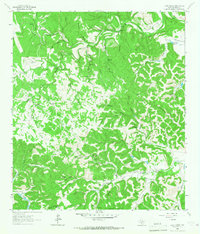
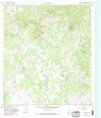
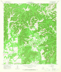
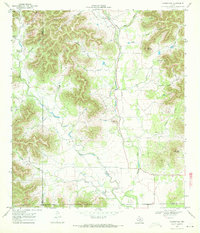
1964 Map of Love Creek
USGS Topo · Published 1967This historical map portrays the area of Love Creek in 1964, primarily covering Bandera County. Featuring a scale of 1:24000, this map provides a highly detailed snapshot of the terrain, roads, buildings, counties, and historical landmarks in the Love Creek region at the time. Published in 1967, it is one of 2 known editions of this map due to revisions or reprints.
Find a feature on this map
63 named features on this map. Tap any name to fly to it.
Don’t see what you’re looking for? This feature index may not catch every label — zoom into the map to look around manually.
Map Details
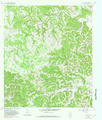
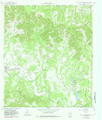
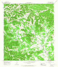
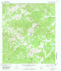
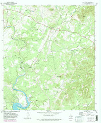
Editions of this 1964 Love Creek Map
2 editions found
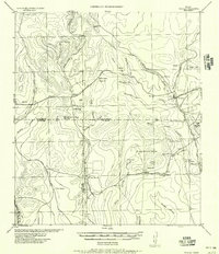
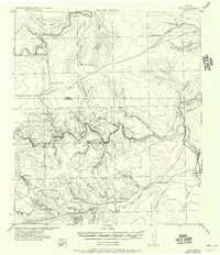
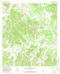
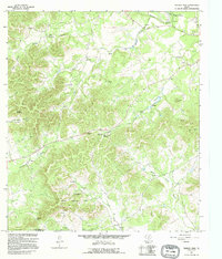
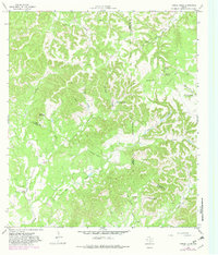
Historical Maps of Bandera County Through Time
15 maps found

1956 Medina Lake
Bandera County, TX
1956 Tarpley
Bandera County, TX
1956 Tuff
Bandera County, TX
1964 A Bar A Ranch
Bandera County, TX
1964 Bandera Pass
Bandera County, TX
1964 Love Creek
Bandera County, TX
1964 Rock Cliff Reservoir
Bandera County, TX
1964 Sabinal Canyon
Bandera County, TX
1964 Seco Pass
Bandera County, TX
1964 Tarpley
Bandera County, TX
1964 Tarpley Pass
Bandera County, TX
1964 Turkey Knob
Bandera County, TX
1969 Vanderpool
Bandera County, TX
1970 Jack Mountain
Bandera County, TX
1970 Pipe Creek
Bandera County, TX