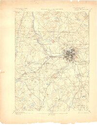
1893 Map of Lowell
USGS Topo · Published 1898About this map
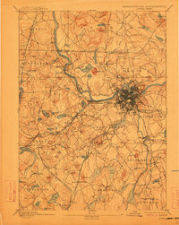
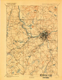
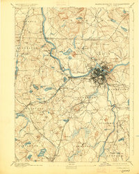
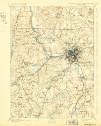
The Merrimac River serves as the industrial and geographic anchor of this landscape, where the concentrated development of Lowell and its surrounding villages like Pawtucketville and Centralville contrasts with the surrounding agricultural and hill country. Surveyed in the mid-1880s, the map reveals a complex web of steam transportation, with the Boston and Lowell Railroad and the Stony Brook Railroad connecting mill towns and rural stations. Beyond the urban centers, the terrain is defined by family-named landmarks and local institutions, including the Poor Farm in the north and the Flat Rock Quarry in Dunstable. The layout of early water-power infrastructure is evident near Forge Village and along the Shawsheen River, providing a detailed view of the Middlesex County economy during the height of its nineteenth-century manufacturing era.
Find a feature on this map
157 named features on this map. Tap any name to fly to it.
Don’t see what you’re looking for? This feature index may not catch every label — zoom into the map to look around manually.
Map Details
Editions of this 1893 Lowell Map
9 editions found
Other maps of this area

1886 · Lawrence
USGS Topo · 1:62,500

1886 · Lowell
USGS Topo · 1:62,500

1886 · Framingham
USGS Topo · 1:62,500

1887 · Marlboro
USGS Topo · 1:62,500

1888 · Haverhill
USGS Topo · 1:62,500

1888 · Lawrence
USGS Topo · 1:62,500

1889 · Marlboro
USGS Topo · 1:62,500

1889 · Framingham
USGS Topo · 1:62,500

1890 · Haverhill
USGS Topo · 1:62,500

1893 · Lowell
USGS Topo · 1:62,500