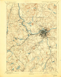
1893 Map of Lowell
USGS Topo · Published 1925About this map
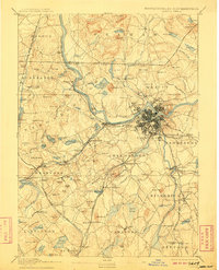
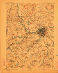
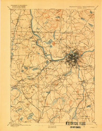
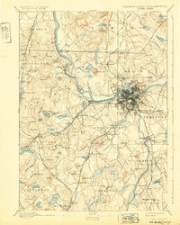
Lowell serves as the industrial and geographic anchor of this late 19th-century landscape, situated where the Merrimack River bends sharply to the east. The city's growth is clearly reflected in the dense street grids of Centralville and Pawtucketville, while a complex web of transport infrastructure radiates from the urban center. The Boston and Lowell Railroad and the Stony Brook Railroad intersect with smaller networks like the Nashua Acton and Boston Railroad, illustrating the era's heavy reliance on rail for moving goods and people between the textile mills and outlying towns.
Find a feature on this map
160 named features on this map. Tap any name to fly to it.
Don’t see what you’re looking for? This feature index may not catch every label — zoom into the map to look around manually.
Map Details
Editions of this 1893 Lowell Map
9 editions found
Other maps of this area

1886 · Lawrence
USGS Topo · 1:62,500

1886 · Lowell
USGS Topo · 1:62,500

1886 · Framingham
USGS Topo · 1:62,500

1887 · Marlboro
USGS Topo · 1:62,500

1888 · Haverhill
USGS Topo · 1:62,500

1888 · Lawrence
USGS Topo · 1:62,500

1889 · Marlboro
USGS Topo · 1:62,500

1889 · Framingham
USGS Topo · 1:62,500

1890 · Haverhill
USGS Topo · 1:62,500

1893 · Lowell
USGS Topo · 1:62,500