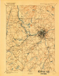
1893 Map of Lowell
USGS Topo · Published 1918About this map
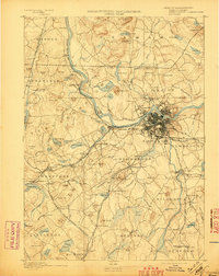
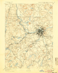
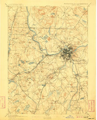
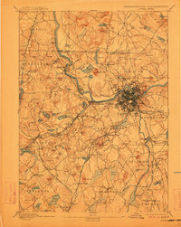
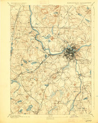
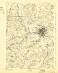
The Merrimack River serves as the industrial and geographic anchor of this landscape, its waters powering the massive textile center of Lowell. At the end of the nineteenth century, the city appears at its Victorian-era peak, showing the dense street grids of Centralville and Pawtucketville alongside the Duck Islands. Beyond the urban core, the map reveals a complex web of nineteenth-century transportation, including the Stony Brook Railroad and the Boston Lowell and Nashua Railroad branching through the countryside toward smaller hubs like Tyngsborough and North Chelmsford.
Find a feature on this map
165 named features on this map. Tap any name to fly to it.
Don’t see what you’re looking for? This feature index may not catch every label — zoom into the map to look around manually.
Map Details
Editions of this 1893 Lowell Map
9 editions found
Other maps of this area

1886 · Lawrence
USGS Topo · 1:62,500

1886 · Lowell
USGS Topo · 1:62,500

1886 · Framingham
USGS Topo · 1:62,500

1887 · Marlboro
USGS Topo · 1:62,500

1888 · Haverhill
USGS Topo · 1:62,500

1888 · Lawrence
USGS Topo · 1:62,500

1889 · Marlboro
USGS Topo · 1:62,500

1889 · Framingham
USGS Topo · 1:62,500

1890 · Haverhill
USGS Topo · 1:62,500

1893 · Lowell
USGS Topo · 1:62,500