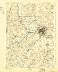
1893 Map of Lowell
USGS Topo · Published 1932About this map
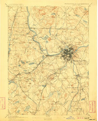
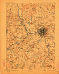
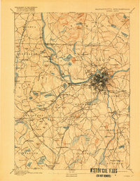
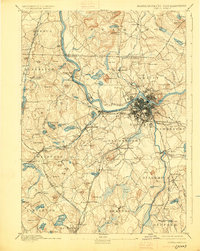
The Merrimack River serves as the industrial and geographical heart of this 1880s survey, anchoring the dense urban grid of Lowell and its peripheral neighborhoods like Centralville and Pawtucketville. This era is defined by a massive concentration of rail infrastructure, where lines like the Boston and Maine R.R. Lowell Br. and the Stony Brook Railroad converge to serve the region's textile and manufacturing centers. Beyond the main city, the landscape is dotted with smaller mill villages and industrial outposts such as Graniteville, Forge Village, and Collinsville, each situated near water sources and rail junctions.
Find a feature on this map
159 named features on this map. Tap any name to fly to it.
Don’t see what you’re looking for? This feature index may not catch every label — zoom into the map to look around manually.
Map Details
Editions of this 1893 Lowell Map
9 editions found
Other maps of this area

1886 · Lawrence
USGS Topo · 1:62,500

1886 · Lowell
USGS Topo · 1:62,500

1886 · Framingham
USGS Topo · 1:62,500

1887 · Marlboro
USGS Topo · 1:62,500

1888 · Haverhill
USGS Topo · 1:62,500

1888 · Lawrence
USGS Topo · 1:62,500

1889 · Marlboro
USGS Topo · 1:62,500

1889 · Framingham
USGS Topo · 1:62,500

1890 · Haverhill
USGS Topo · 1:62,500

1893 · Lowell
USGS Topo · 1:62,500