
1893 Map of Lowell
USGS Topo · Published 1893About this map
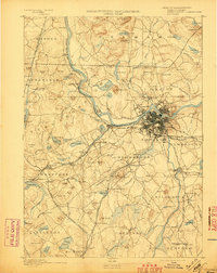
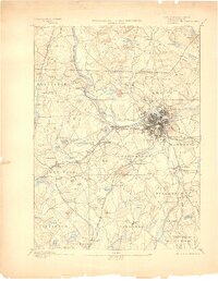
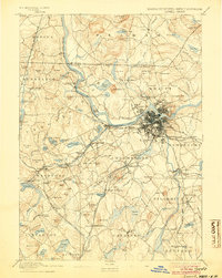
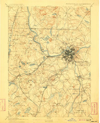
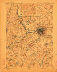
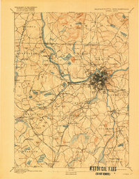
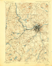
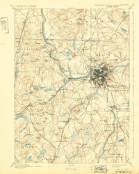
The industrial heart of the Merrimack Valley is anchored by Lowell, where a dense network of streets and canals meets the Merrimac River. In the late nineteenth century, the city is surrounded by outlying villages such as Pawtucketville and Centralville, while the Canal system facilitates the power needed for its manufacturing rise. To the west and south, the landscape transitions into a mosaic of rail-connected towns and mill hamlets, including Graniteville and Forge Village, which are tied together by the Stony Brook Railroad.
Find a feature on this map
160 named features on this map. Tap any name to fly to it.
Don’t see what you’re looking for? This feature index may not catch every label — zoom into the map to look around manually.
Map Details
Editions of this 1893 Lowell Map
9 editions found
Other maps of this area

1886 · Lawrence
USGS Topo · 1:62,500

1886 · Lowell
USGS Topo · 1:62,500

1886 · Framingham
USGS Topo · 1:62,500

1887 · Marlboro
USGS Topo · 1:62,500

1888 · Haverhill
USGS Topo · 1:62,500

1888 · Lawrence
USGS Topo · 1:62,500

1889 · Marlboro
USGS Topo · 1:62,500

1889 · Framingham
USGS Topo · 1:62,500

1890 · Haverhill
USGS Topo · 1:62,500

1893 · Boston
USGS Topo · 1:62,500