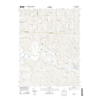
2013 Map of Lowell
USGS Topo · Published 2013About this map
The Muskingum River dominates this landscape as it winds past Dana Island and the riverside communities of Lowell and Upper Lowell. The river's path defines the local geography, creating the fertile grounds of Federal Bottom and Equity. This 2013 survey reveals a dense concentration of historical burial sites and religious landmarks, including the Old German Cem, Salem Church, and Our Lady of Mercy Cem, reflecting the deep-rooted heritage of this multi-county border region. Further inland, the terrain is shaped by ridges such as Hibbs Ridge and Tick Ridge, while smaller water bodies like Strahler Pond and the Lakeside Motel Pond dot the hills. The presence of Checkpoint Charlie Airport near Coal Run highlights the varied modern land use alongside these established rural settlements.
Find a feature on this map
116 named features on this map. Tap any name to fly to it.
Don’t see what you’re looking for? This feature index may not catch every label — zoom into the map to look around manually.
Map Details
Editions of this 2013 Lowell Map
This is the sole edition of this map. No revisions or reprints were ever made.
Other maps of this area

1902 · Parkersburg
USGS Topo · 1:62,500

1903 · Macksburg
USGS Topo · 1:62,500

1904 · Parkersburg
USGS Topo · 1:62,500

1904 · Marietta
USGS Topo · 1:62,500

1905 · Macksburg
USGS Topo · 1:62,500

1909 · Caldwell
USGS Topo · 1:62,500

1912 · Caldwell
USGS Topo · 1:62,500

1924 · Marietta
USGS Topo · 1:62,500

1927 · Marietta
USGS Topo · 1:62,500

1949 · Clarksburg
USGS Topo · 1:250,000