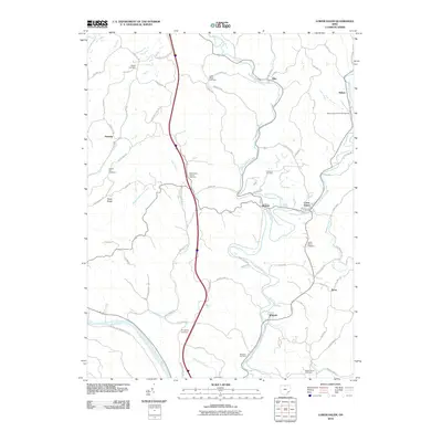
2010 Map of Lower Salem
USGS Topo · Published 2010About this map
The West Fork Duck Creek and East Fork Duck Creek valleys define the geography of northern Washington County, where winding country roads follow the ridges and hollows of the Appalachian Plateau. The village of Lower Salem stands as a central point of settlement, surrounded by smaller communities like Warner, Elba, and Bonn. This 2010 survey details a landscape where agriculture and rural life are anchored by numerous small family and community burial grounds, including the Smith Ridge Cemetery and Liberty Hill Cemetery.
Find a feature on this map
70 named features on this map. Tap any name to fly to it.
Don’t see what you’re looking for? This feature index may not catch every label — zoom into the map to look around manually.
Map Details
Editions of this 2010 Lower Salem Map
This is the sole edition of this map. No revisions or reprints were ever made.
Other maps of this area

1902 · Parkersburg
USGS Topo · 1:62,500

1903 · Macksburg
USGS Topo · 1:62,500

1904 · Parkersburg
USGS Topo · 1:62,500

1904 · Marietta
USGS Topo · 1:62,500

1905 · Macksburg
USGS Topo · 1:62,500

1909 · Caldwell
USGS Topo · 1:62,500

1912 · Caldwell
USGS Topo · 1:62,500

1924 · Marietta
USGS Topo · 1:62,500

1927 · Marietta
USGS Topo · 1:62,500

1949 · Clarksburg
USGS Topo · 1:250,000