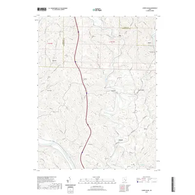
2019 Map of Lower Salem
USGS Topo · Published 2019About this map
Lower Salem and its surrounding hill country define this landscape along the border of Noble and Washington counties. The area is characterized by high, narrow ridges such as Dixon Ridge and the winding valley of Duck Creek, which flows south toward the Muskingum River in the southwestern corner. Small rural settlements like Whipple, Warner, and Elba are connected by a network of township roads and family-named routes such as Maurice Kraps Rd and Clifton Hill Rd. Genealogists will find a wealth of burial sites and rural congregations, including the Mount Ephriam Church Cem and Berg Church Cem. The concentration of sites like Good Hope Church Cem and Hill Grove Cem along the high ground suggests a long-standing pattern of ridge-top settlement above the flood-prone creek bottoms.
Find a feature on this map
111 named features on this map. Tap any name to fly to it.
Don’t see what you’re looking for? This feature index may not catch every label — zoom into the map to look around manually.
Map Details
Editions of this 2019 Lower Salem Map
This is the sole edition of this map. No revisions or reprints were ever made.
Other maps of this area

1902 · Parkersburg
USGS Topo · 1:62,500

1903 · Macksburg
USGS Topo · 1:62,500

1904 · Parkersburg
USGS Topo · 1:62,500

1904 · Marietta
USGS Topo · 1:62,500

1905 · Macksburg
USGS Topo · 1:62,500

1909 · Caldwell
USGS Topo · 1:62,500

1912 · Caldwell
USGS Topo · 1:62,500

1924 · Marietta
USGS Topo · 1:62,500

1927 · Marietta
USGS Topo · 1:62,500

1949 · Clarksburg
USGS Topo · 1:250,000