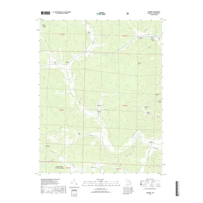
2017 Map of Lowndes
USGS Topo · Published 2017About this map
Saint Francois Mountains terrain defines the northern reaches of this Wayne County landscape, where the headwaters of Bear Cr and McCabe Cr carve through deep hollows. The settlement pattern follows the valley floors, with Clubb and Hiram serving as central points connected by State Hwy C. The map provides significant genealogical value through its documentation of rural burial grounds like Twidwell Cem and Graham Cem, along with community hubs such as Crossroads Church.
Find a feature on this map
56 named features on this map. Tap any name to fly to it.
Don’t see what you’re looking for? This feature index may not catch every label — zoom into the map to look around manually.
Map Details
Editions of this 2017 Lowndes Map
This is the sole edition of this map. No revisions or reprints were ever made.
Other maps of this area
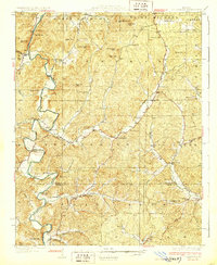
1930 · Coldwater
USGS Topo · 1:62,500
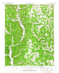
1933 · Marquand
USGS Topo · 1:62,500
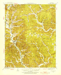
1934 · Greenville
USGS Topo · 1:62,500
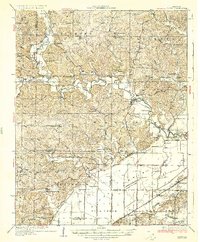
1935 · Zalma
USGS Topo · 1:62,500
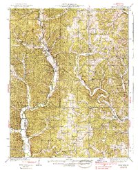
1938 · Marquand
USGS Topo · 1:62,500
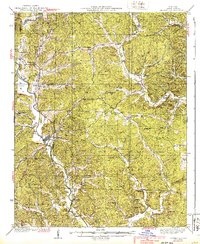
1939 · Greenville
USGS Topo · 1:62,500
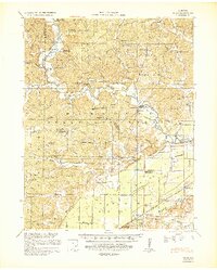
1939 · Zalma
USGS Topo · 1:62,500

1949 · Rolla
USGS Topo · 1:250,000
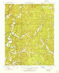
1949 · Coldwater
USGS Topo · 1:62,500
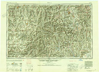
1953 · Rolla
USGS Topo · 1:250,000