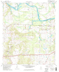
1981 Map of Lowndesboro
USGS Topo · Published 1981About this map
Lowndesboro sits at the southern edge of this landscape, characterized by the winding path of the Alabama River and the expansive Jones Bluff Lake. The terrain is marked by numerous family-named cemeteries and rural churches, reflecting the long-established agricultural and social fabric of the Black Belt. Small communities like Burkville, Manack, and St Clair are linked by the Western Railway of Alabama, which runs parallel to the river's northern bend.
Find a feature on this map
49 named features on this map. Tap any name to fly to it.
Don’t see what you’re looking for? This feature index may not catch every label — zoom into the map to look around manually.
Map Details
Editions of this 1981 Lowndesboro Map
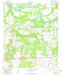
2 editions found
Other maps of this area

1927 · Montgomery
USGS Topo · 1:48,000

1930 · Montgomery
USGS Topo · 1:62,500

1953 · Montgomery
USGS Topo · 1:250,000

1956 · Montgomery
USGS Topo · 1:250,000

1957 · Montgomery
USGS Topo · 1:250,000

1957 · Letohatchee
USGS Topo · 1:62,500

1957 · Autaugaville
USGS Topo · 1:62,500

1958 · Montgomery
USGS Topo · 1:62,500

1975 · Autaugaville SW
USGS Topo · 1:24,000

1975 · Autaugaville SE
USGS Topo · 1:24,000